Research theme

Generational continuity & open datasets

Keeping what is learned about a site's soils, water, species and fire history useful across changes in owners, staff and software, through digital twins of DeepForest's sites and open, privacy-screened data.

Land outlives owners, managers and software vendors. Knowledge of how to care for a specific place is routinely lost when land changes hands. This theme treats that knowledge as infrastructure. The goals are an open, durable schema for a property’s ecological memory, and privacy-screened datasets archived in long-term repositories. This allows current and future software systems to understand, monitor, and support physical spaces and ecosystems.

Projects

All projects
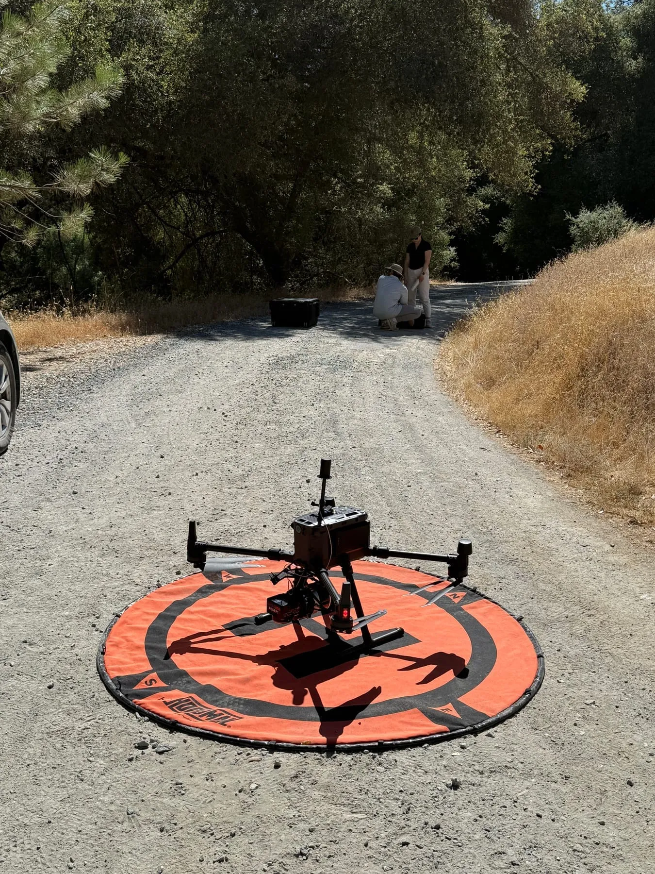
A quadcopter drone sits on an orange landing pad on a gravel ranch road beside dry grass, with two people beside an equipment case farther down the road.

Active Underway

Digital twins of landscapes for active management

Living, measured models of DeepForest's sites, built from drone photos and 3D models, LiDAR, satellite time series, AI-managed remote sensing and dated field records, and kept for years so active management (thinning, fuel breaks, biochar, seeding and grazing) can be planned, tested and tracked: where the work was done, how the land responds, and the carbon it holds, as estimates.

San Domingo · Woodland Hilltop — Generational continuity & open datasets, Agentic land stewardship, AI-powered land monitoring
Field journal

All 6 entries
  • Video

    · San Domingo

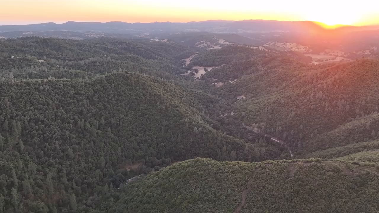
    Sunset flight over the creek canyon

    A slow drone pass at sunset over the canyon of San Domingo Creek, late in the dry season: the meadows in the valley have gone gold, while…

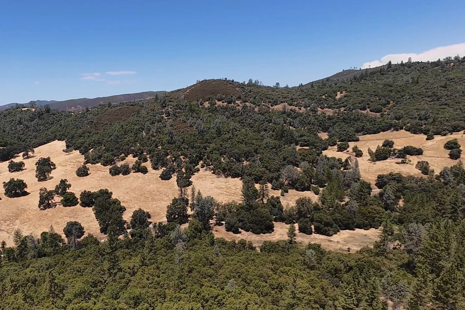
  • Aerial view over dense green oak and pine forest toward a hillside of golden dry-grass meadows dotted with dark green oaks, under a clear blue sky.

    · San Domingo

    Gold meadows and green oaks in late July

    We flew a drone over San Domingo Arbory on July 26, 2025, in the middle of the dry season. The grass in the meadows on the far slope had…

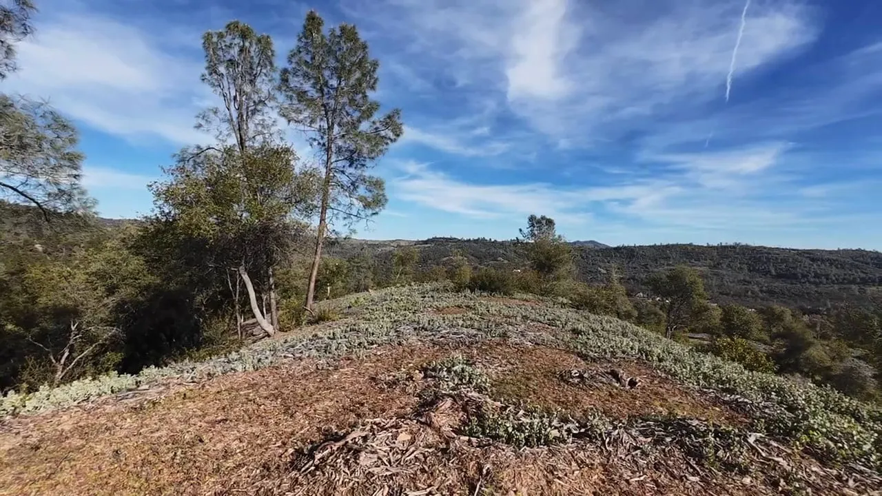
  • Seen from a drone flying low over a hilltop, two tall pines and an oak stand at the edge of a slope of wood-chip mulch and low gray-green plants, with wooded ridges and wispy clouds beyond. +1 photo

    · Woodland Hilltop

    A low drone pass over the mulched hilltop

    On the afternoon of March 23, 2025, we flew a small drone low over the top of Woodland Hilltop Arbory, skimming the masticated ground.…

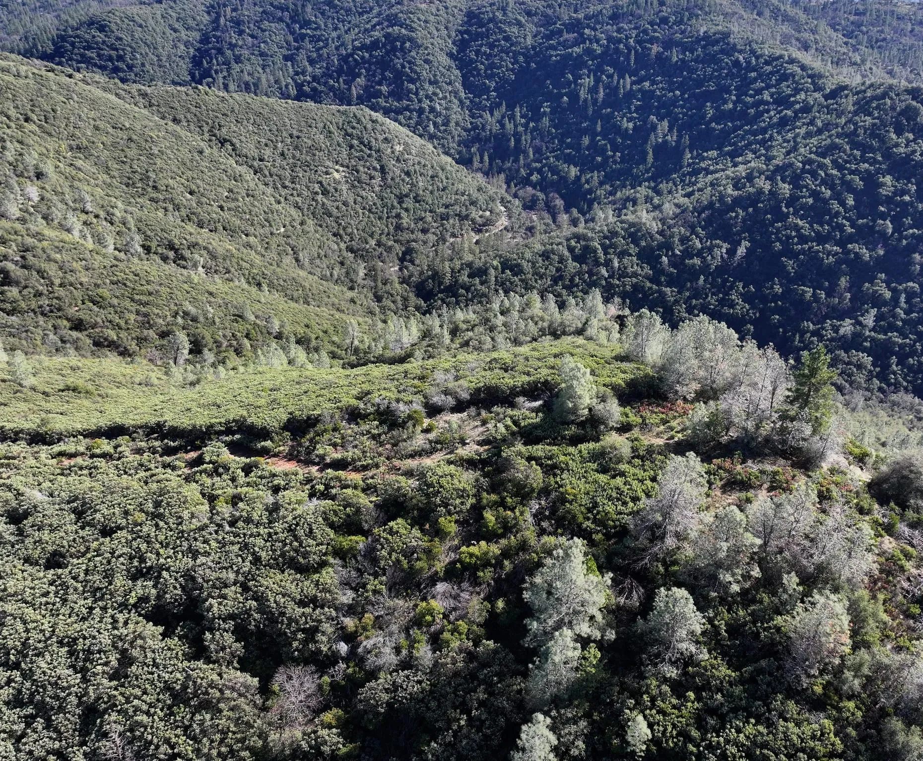
  • Aerial view across a deep canyon: dense, dark evergreen woodland covers the far slope, while pale gray-green pines and low shrubs line a ridge in the foreground. +1 photo

    · San Domingo

    Winter canopy from an early drone flight

    We flew a drone over the steep canyon slopes at San Domingo Arbory on February 8, 2025. From above, the winter canopy sorts itself by…

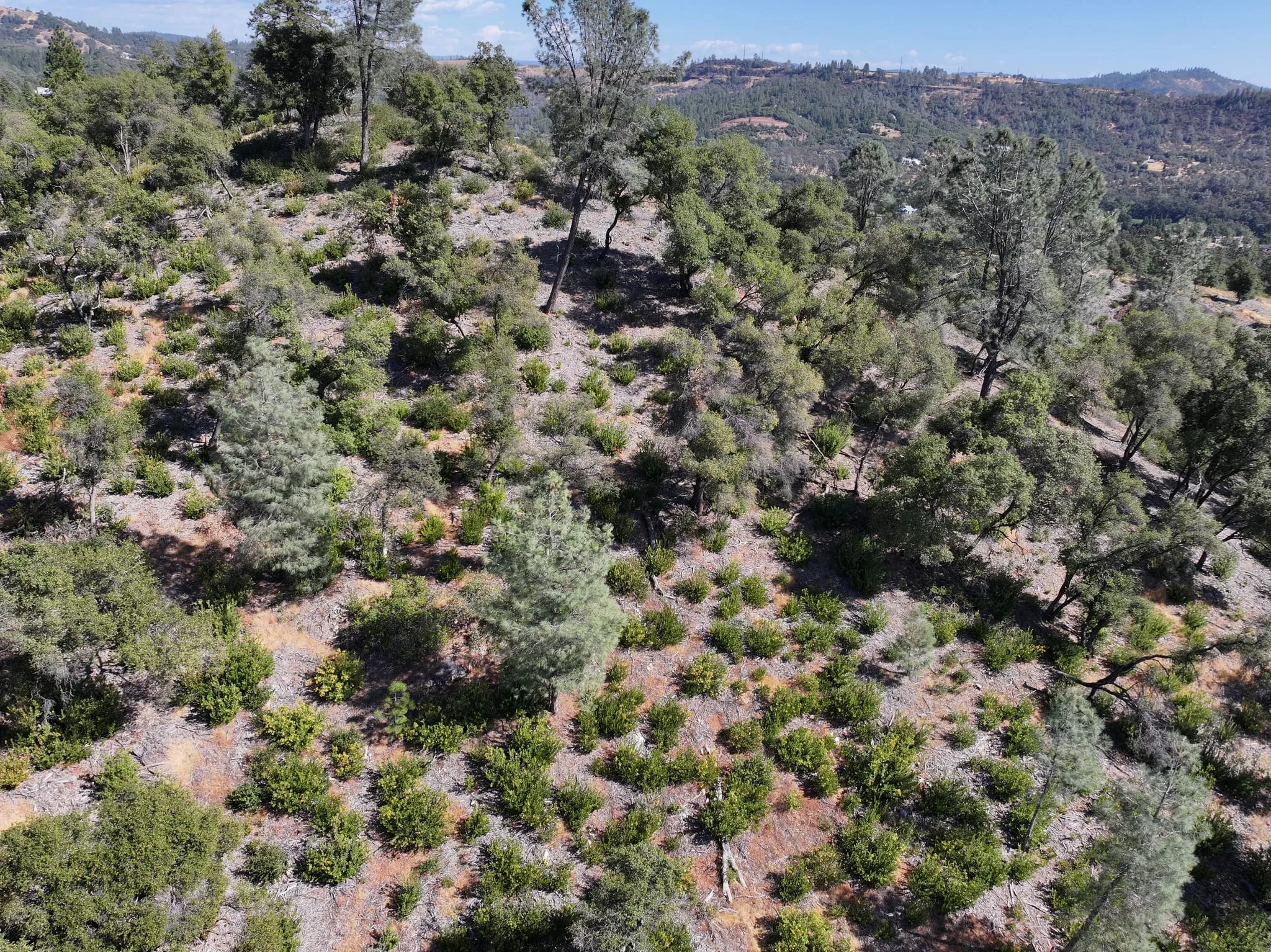
  • Aerial view across a hilltop slope of pale wood-chip mulch and dry grass dotted with small green shrubs, among gray-green pines and darker oaks, with forested hills and a distant ridge beyond. +1 photo

    · Woodland Hilltop

    The hilltop from the air in late summer

    We flew a drone over Woodland Hilltop Arbory on the afternoon of September 22, 2024, at the end of the dry season. From above,…

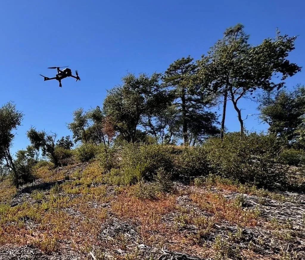
  • A small quadcopter drone hovers in a clear blue sky above oaks and pines at the top of a hill, with low shrubs and wood-chip mulch on the slope below.

    · Woodland Hilltop

    Drone flight over the hilltop

    A drone in the air over Woodland Hilltop Arbory on the afternoon of September 21, hovering above the oaks and pines near the top of the…