
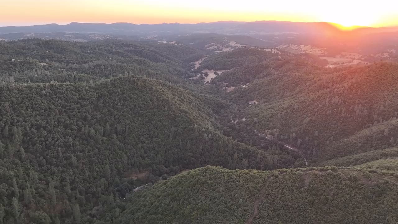
 Video
Sunset flight over the creek canyon
A slow drone pass at sunset over the canyon of San Domingo Creek, late in the dry season: the meadows in the valley have gone gold, while…
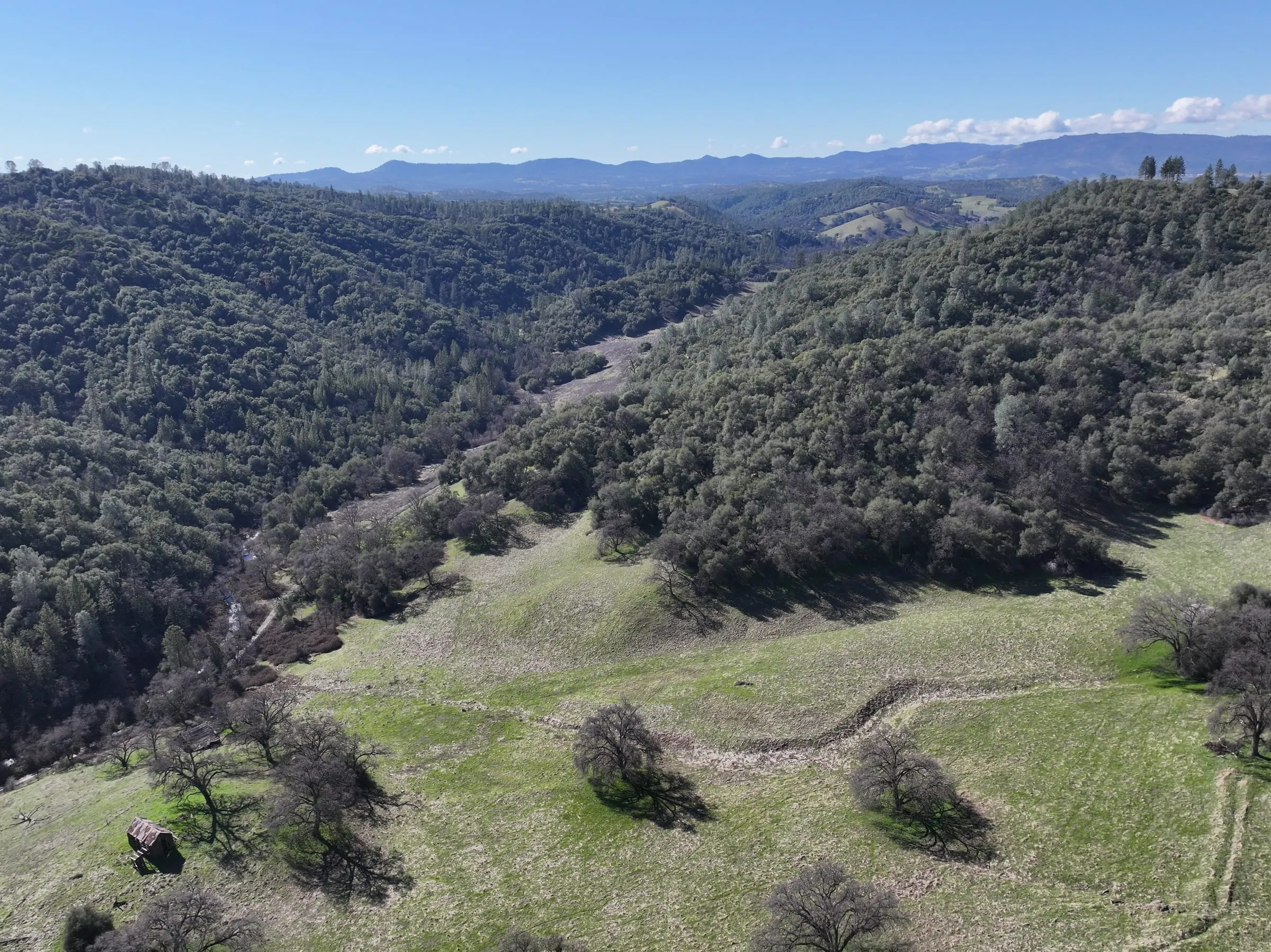
Oak-dotted meadow and forested canyon from the air. Photo: DeepForest A slow drone pass over San Domingo Arbory in spring, with a smoke trail from biochar production in the background.
About 450 acres of oak and pine forest, grazing meadows and seasonal creek valley along San Domingo Creek outside Murphys. This site has multiple ecosystem types and our initial work focuses on restoring access trails, wildfire risk reduction, and invasive species management. The site has a rich cultural heritage from pre-Colonization grinding stones to documented Gold Rush homesteads, and a section of the old Ponderosa Way fire road, built by 1930s New Deal work relief programs.
The land rises from about 1,440 ft (440 m) along the creek to 2,330 ft (710 m) on the ridges. Nearly all the rain here falls in winter, and summers are long, hot and dry. Big winter storms can flood the valley bottom, and for about three months of the year the creek runs dry.
Steep canyon slopes of oak and pine, among them valley oak (Quercus lobata), canyon live oak (Quercus chrysolepis), ponderosa pine (Pinus ponderosa) and gray pine (Pinus sabiniana), rise above open meadows fed by springs. Like much of this region, the land was mined for gold from the 1850s and later logged and ranched, and decades without the frequent fire that once kept these slopes open have left them crowded with brush, dead wood and small trees. Part of this site was burned in the 1992 Old Gulch Fire.
The work here is restoring the forest, creek and woodlands into functional, fire-resistant ecosystems. Immediate work focuses on reducing fire risk and fuel loads to work towards regular prescribed burns. We are also managing invasive plants such as Himalayan blackberry (Rubus armeniacus).
The same views photographed months apart. Drag the divider to compare.
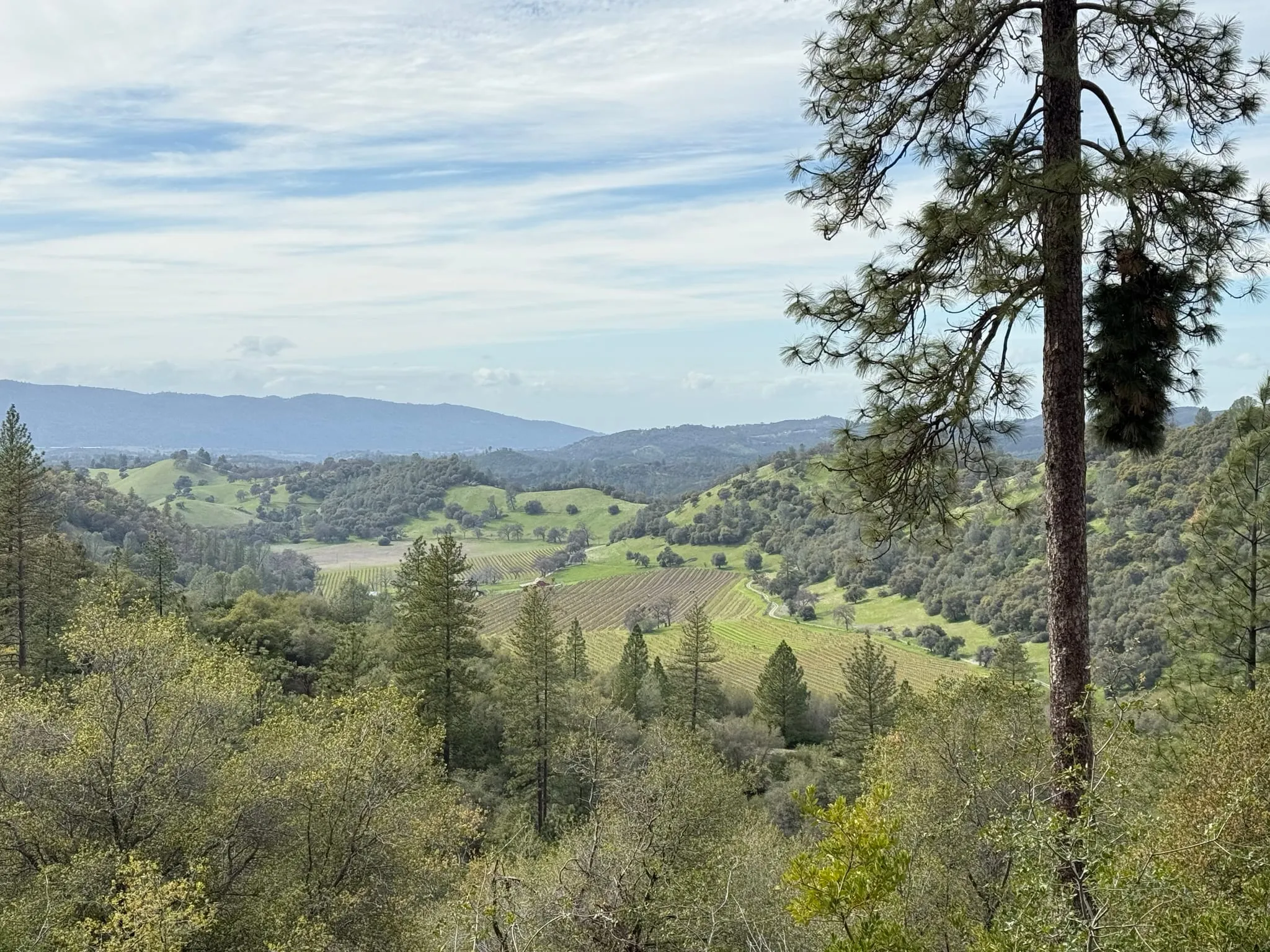 March 2025
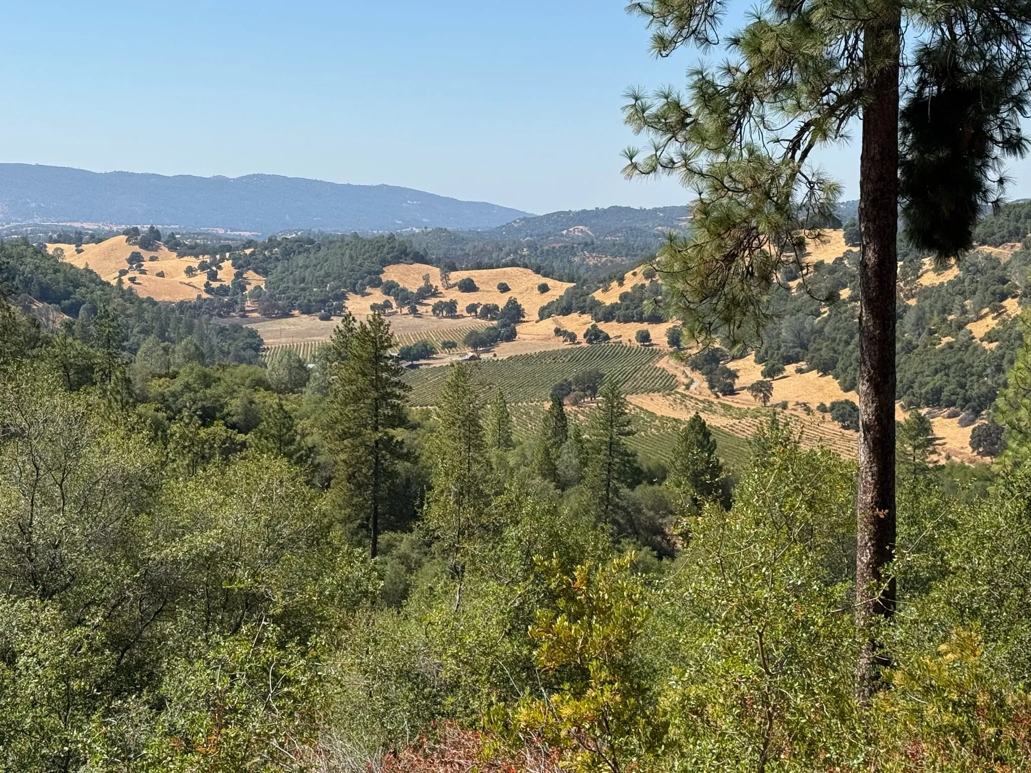 September 2025
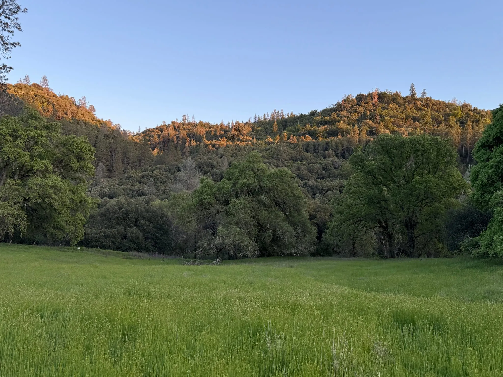 April 2025
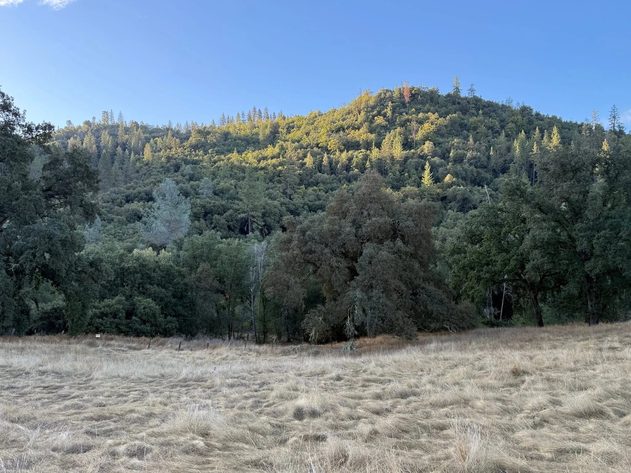 October 2025
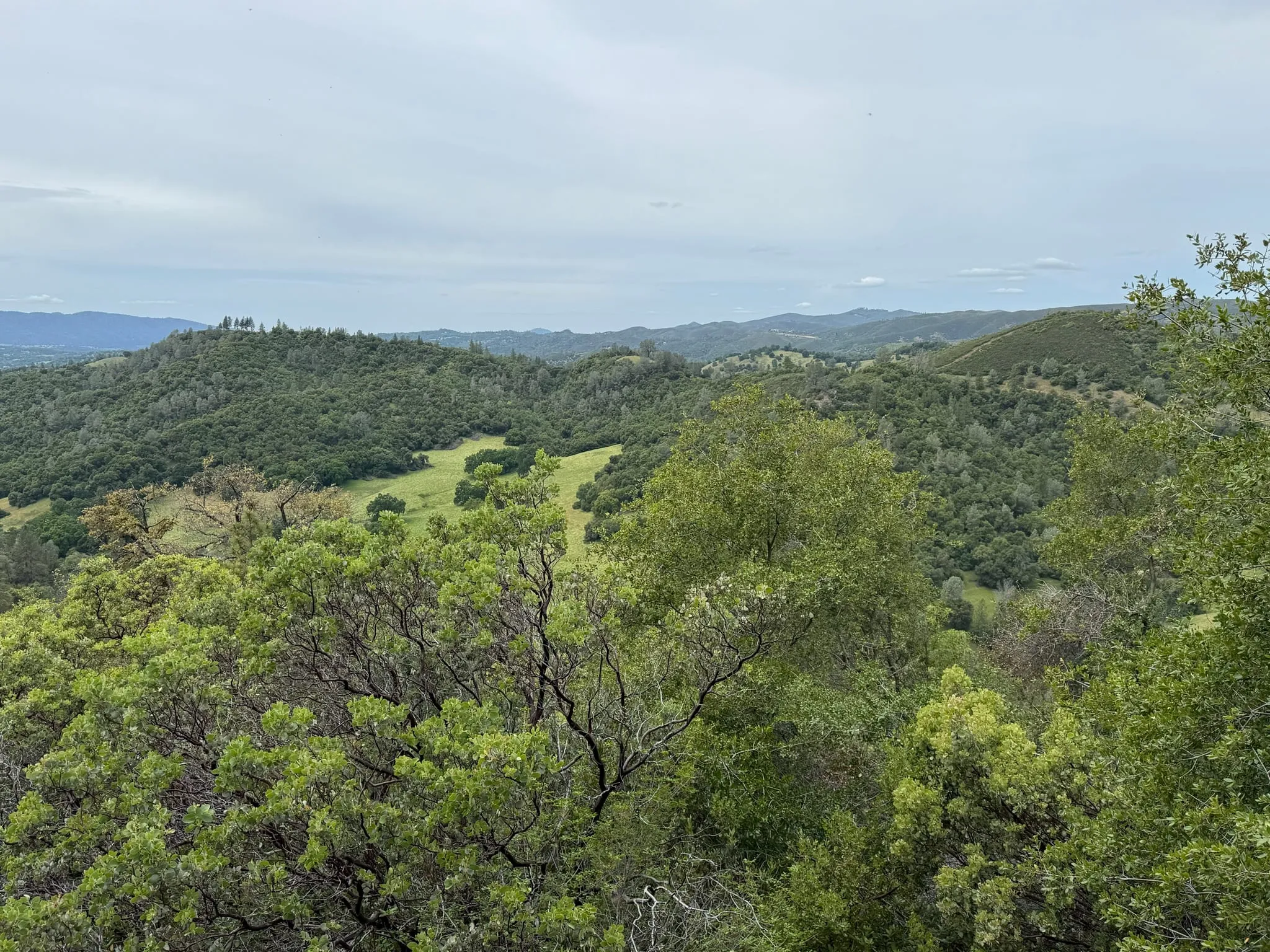 May 2025
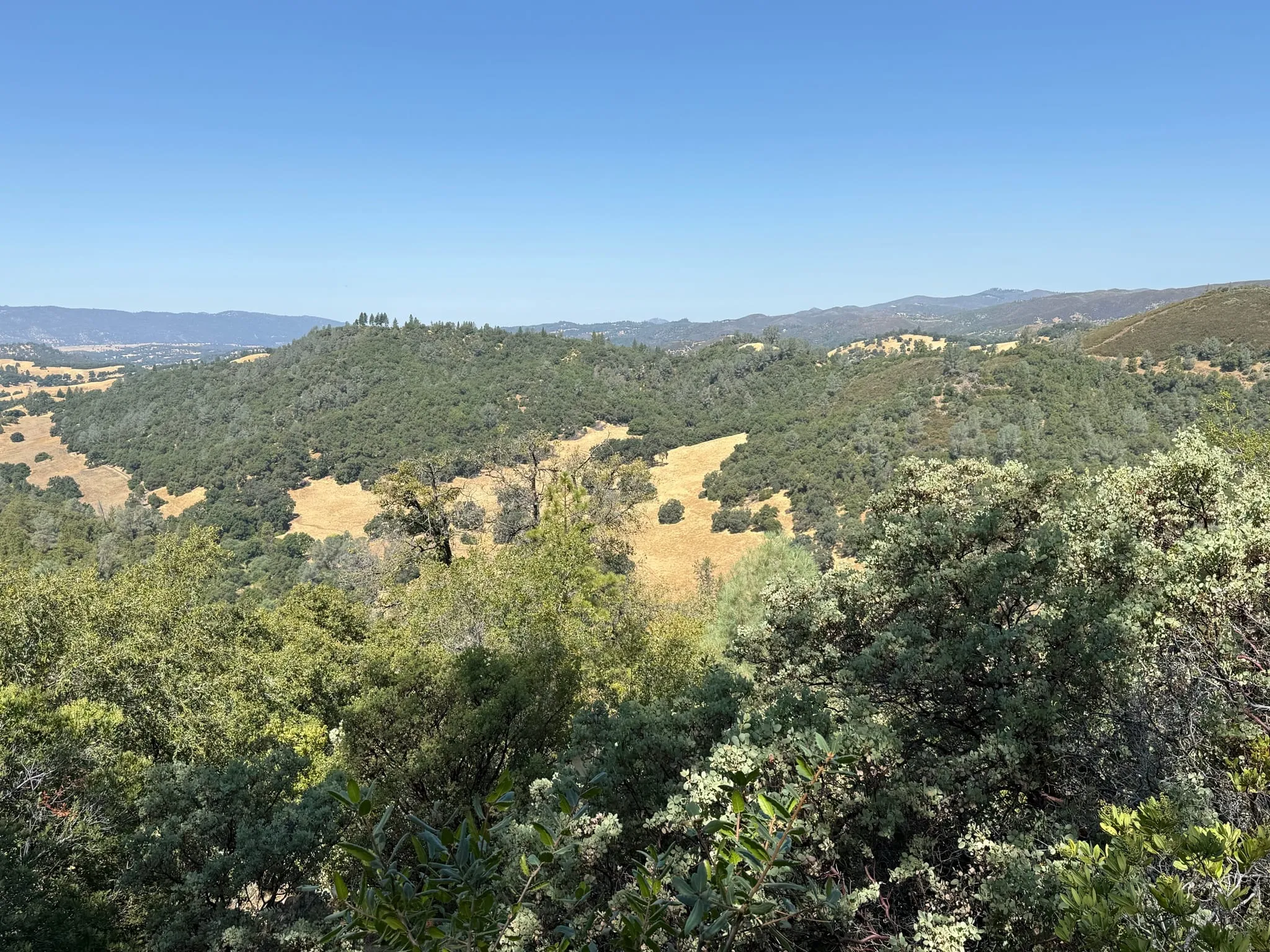 August 2025
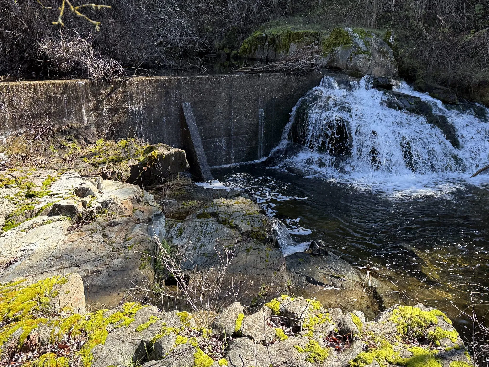 February 2025
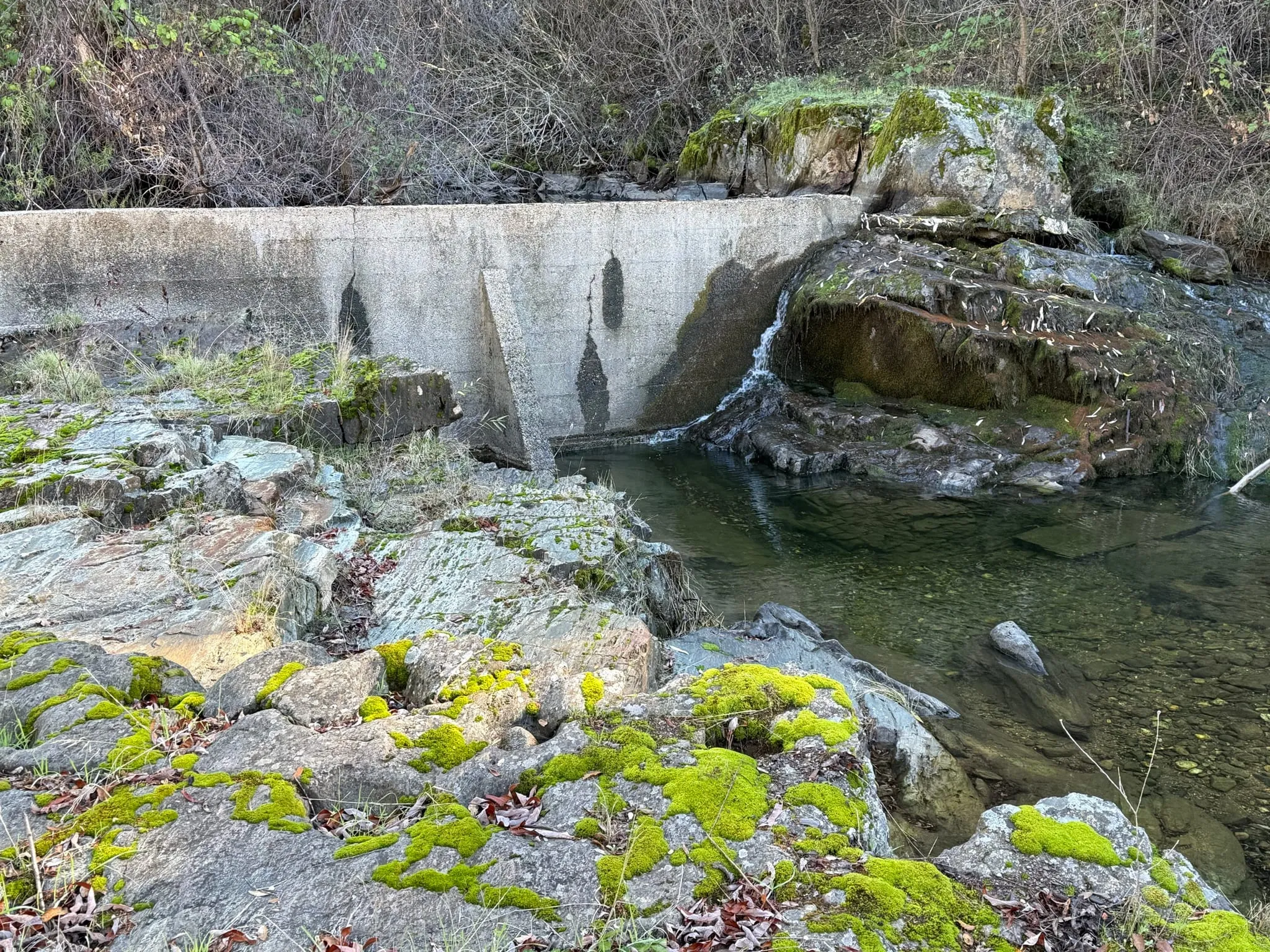 November 2025
Thousands of years of human life along San Domingo Creek, a Gold Rush mining camp, and more than a century of homesteading and ranching by the Ponte and Valente families, alongside the ecological story of how the land was shaped.
San Domingo Arbory sits at about 2,000 feet in the Sierra Nevada foothills near Murphys, on the slopes and flats along San Domingo Creek. It is blue oak and foothill pine country, and the creek has drawn people to it for a very long time.
People have lived along San Domingo Creek for thousands of years, and the creek carries a record of human life forward to recent centuries. We share this as context for how old the human story of this place is, and we do not publish the locations of any cultural sites.
In the 1850s the Gold Rush brought miners from around the world to the creek, which became its own mining district. Later records describe the Ponte ranch as standing where the old San Domingo mining camp had been.
San Domingo Arbory is made up of the original Ponte and Valente homesteads, with the Briseno family’s ranch next door. The Ponte family, who came from the Azores, settled here in the late 1860s and received a federal homestead patent in 1888, the same year as their Briseno neighbors, who had arrived in the gold fields from Spain by way of Chile in 1849. The two families joined through marriage, and the land then passed through the Valente line of the family. The Genochio home site lies within the Ponte homestead.
For generations the ranch was nearly self-sufficient. The families irrigated the flats from a hand-dug ditch off the creek, kept a vineyard of Mission grapes, orchards, gardens, hay and grain, and raised cattle, pigs and a large herd of Angora goats whose wool was the main cash crop. After World War II the younger generation left for new lives, and the land continued as cattle range.
Our restoration work today (fuel reduction, invasive plant control, and care for the creek and oak woodland) builds on this history, in some ways bringing back what grazing animals, a well-tended ditch and frequent fire once did.
Stories and sources are shared here; locations of archaeological and cultural features are never published.
Field journal entries from this site as the work happens, newest first.
Video A slow drone pass at sunset over the canyon of San Domingo Creek, late in the dry season: the meadows in the valley have gone gold, while…
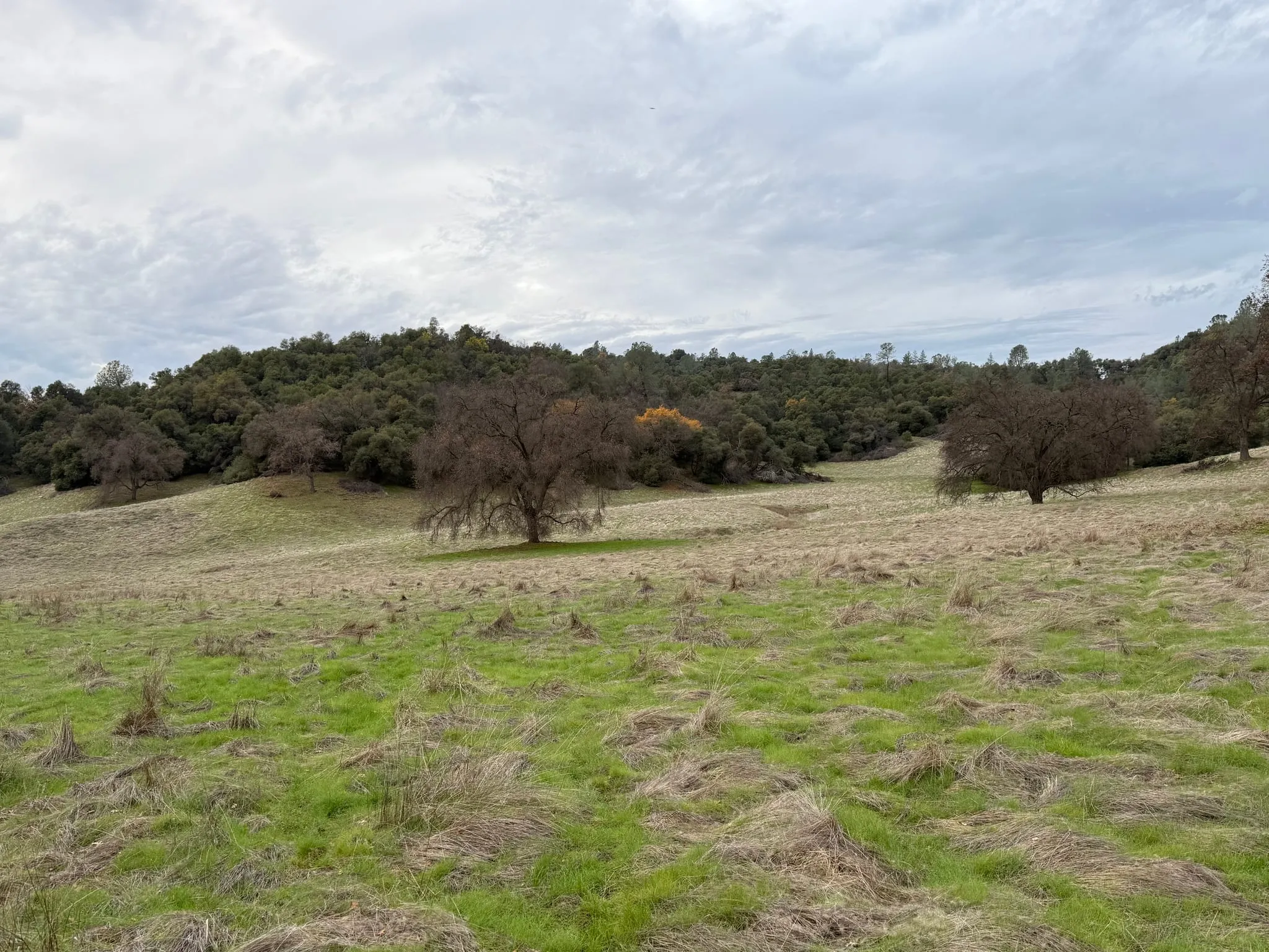
Late in the afternoon of December 23, 2025, new green grass was coming up through the flattened, bleached thatch of last summer's growth…
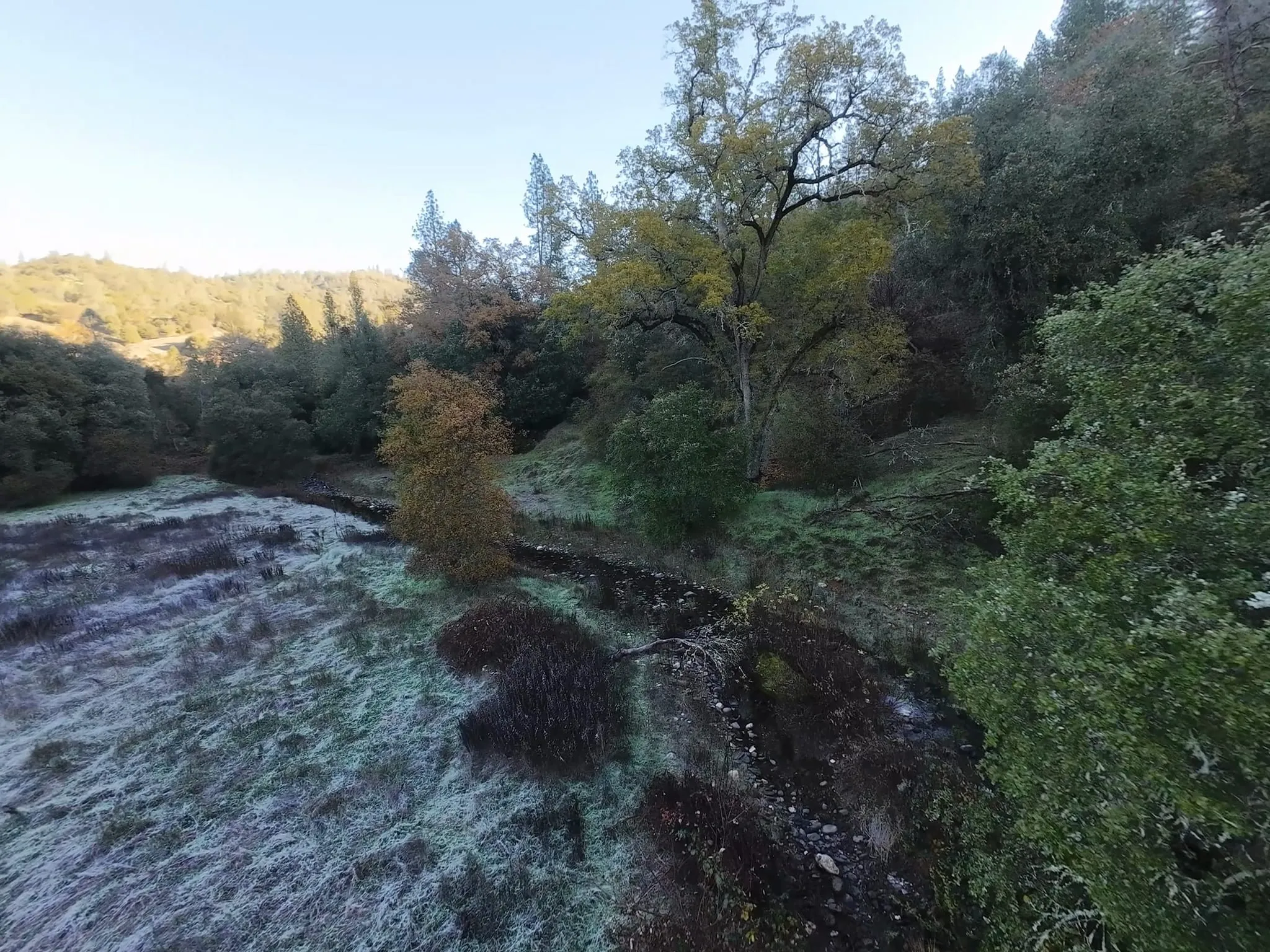 +1 photo
Frost still lay on the meadow along San Domingo Creek on the morning of December 13, 2025, when we flew a drone low along the creek at San…
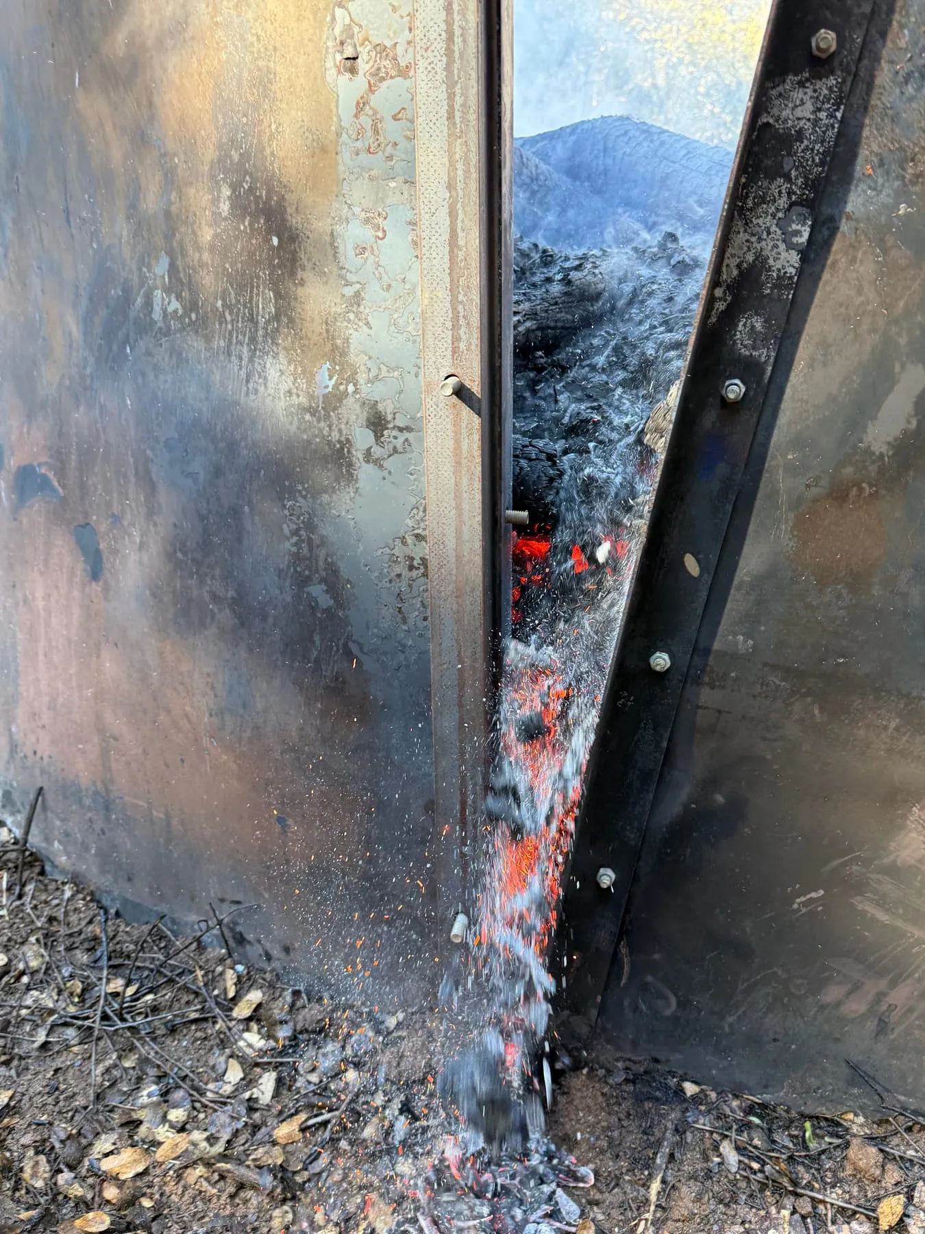 +1 photo
Burn day in the steel ring kiln at San Domingo, the day after the crew staged the burn. Slash from thinning goes in load by load, and a…
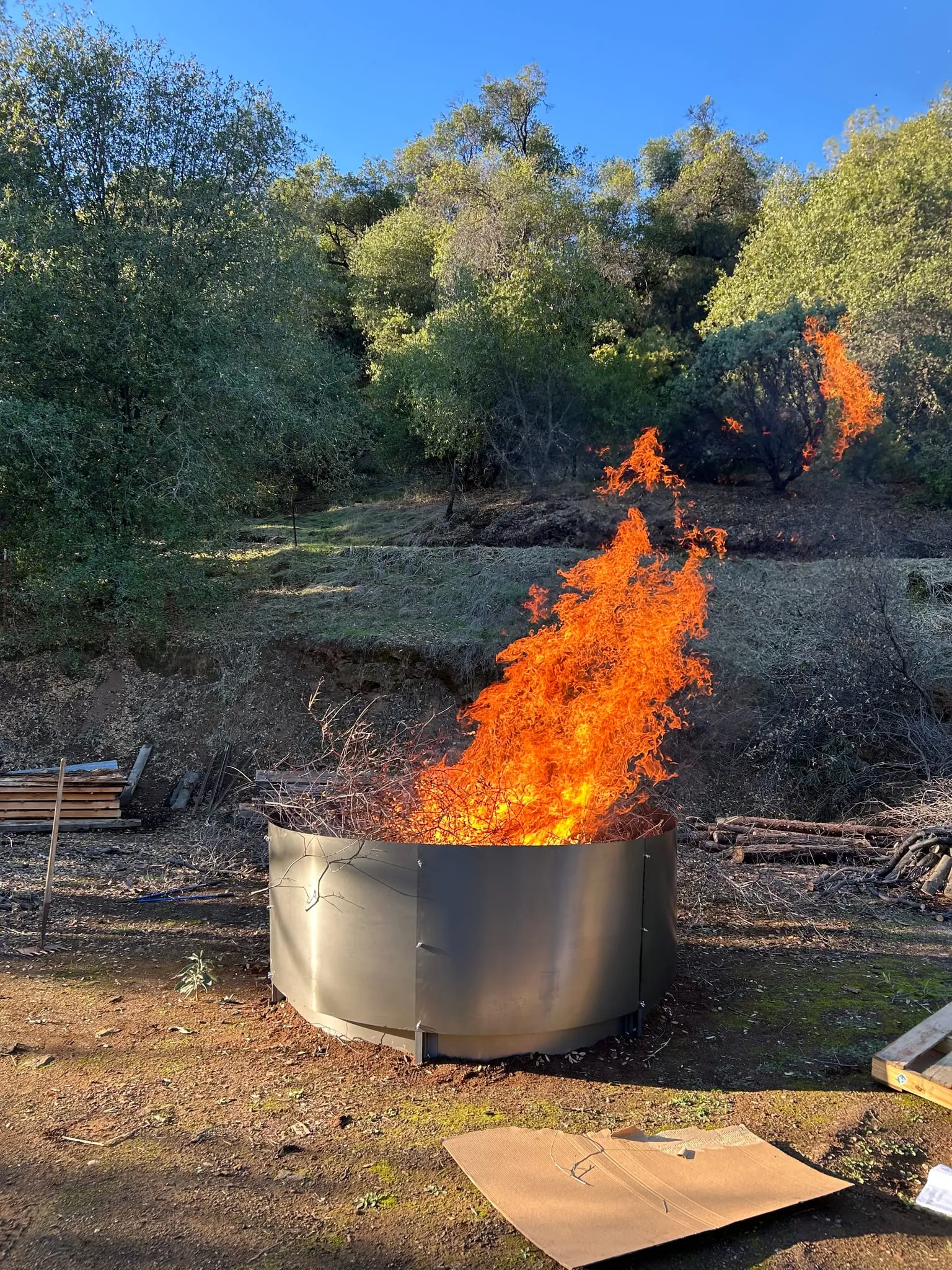 +1 photo
On November 24, 2025, we ran the first burn in a new steel ring kiln at San Domingo Arbory, among DeepForest's first biochar burns. Its…
 +1 photo
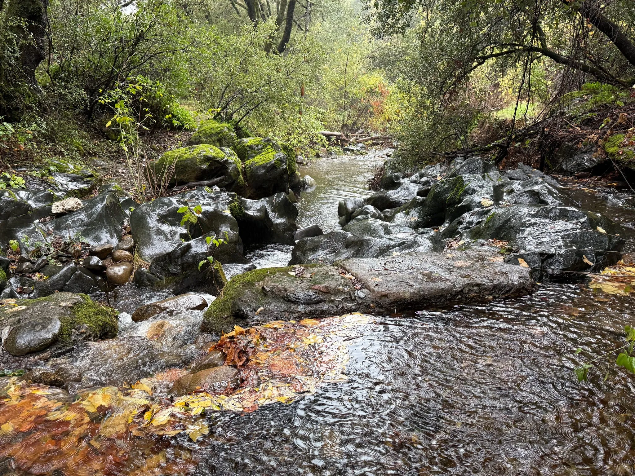
Rain was falling on the creek at San Domingo Arbory around midday on November 16, 2025, ringing the pools with drops. Water ran fast…
 +1 photo
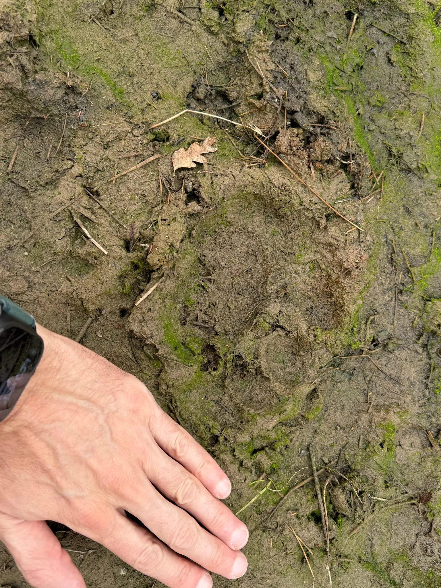
Late in the afternoon of October 22, 2025, we found a large paw print pressed into soft, algae-streaked mud at San Domingo Arbory. Beside…
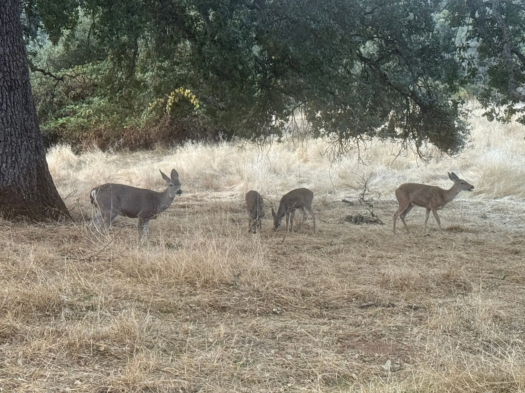
Four deer were grazing at the edge of a meadow under the oaks at San Domingo Arbory just before 7:30 am on October 11, 2025. Two were…
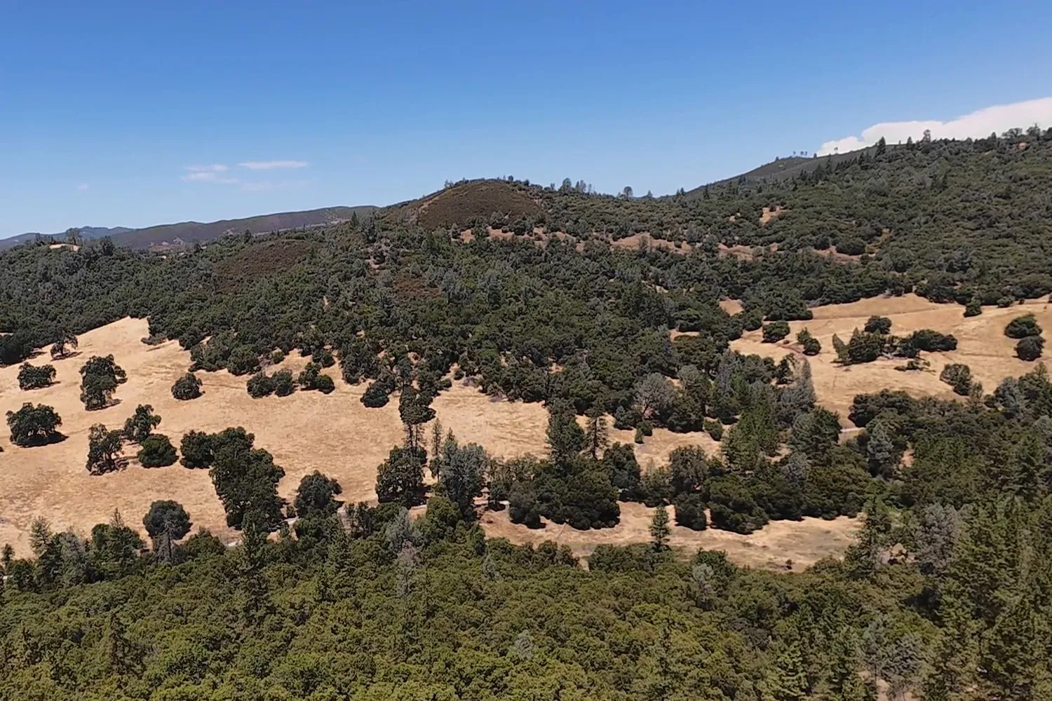
We flew a drone over San Domingo Arbory on July 26, 2025, in the middle of the dry season. The grass in the meadows on the far slope had…
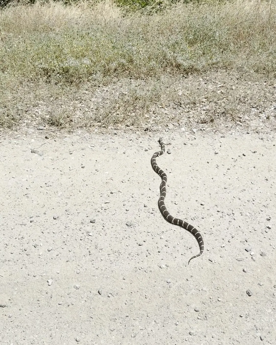
In the early afternoon of June 14, 2025, a snake banded in dark brown and cream crossed a gravel ranch road at San Domingo Arbory and…
 +1 photo
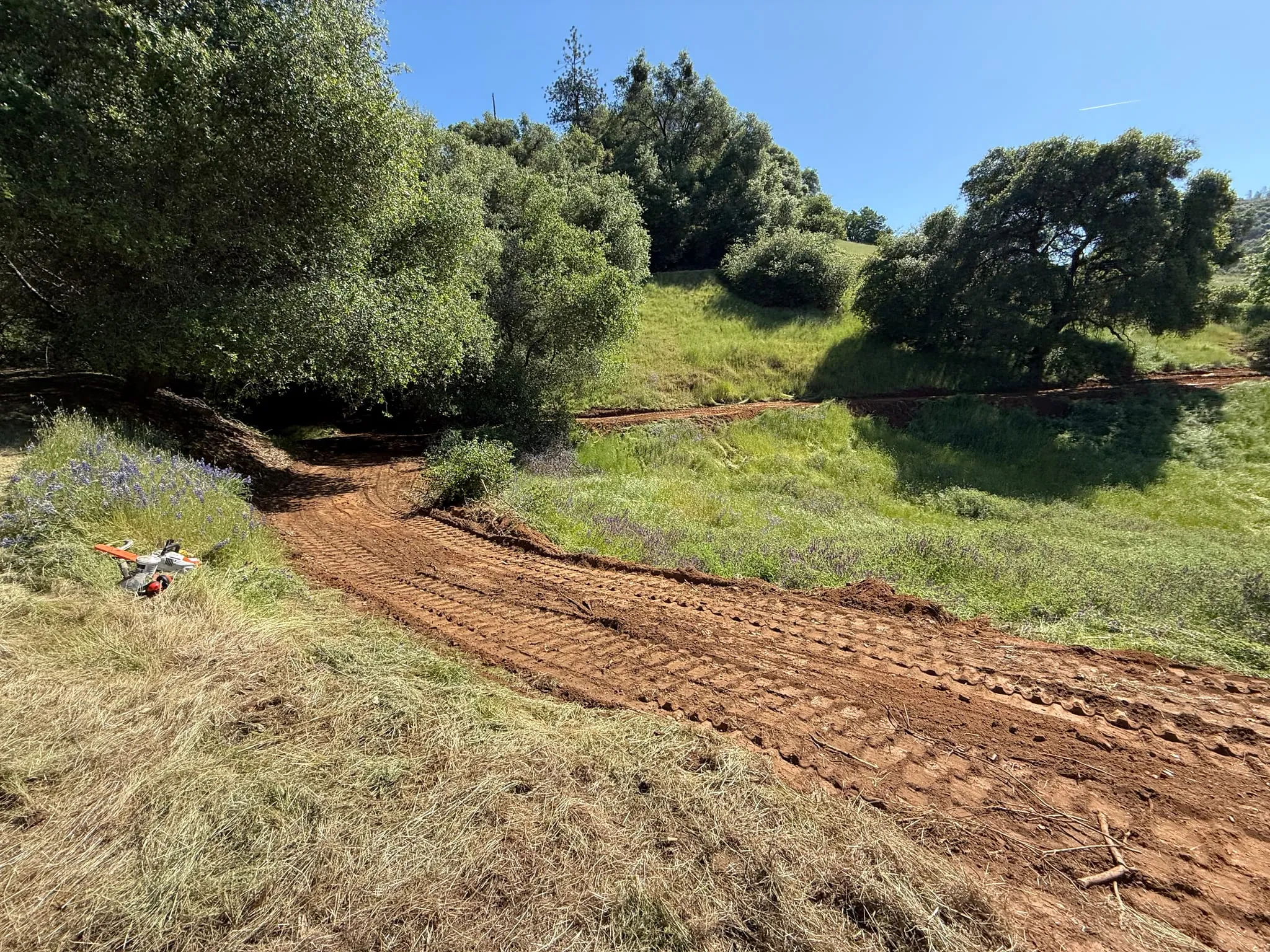
On the morning of May 2, 2025, a newly cut trail of bare red soil curved along the edge of a meadow at San Domingo Arbory. The soil still…
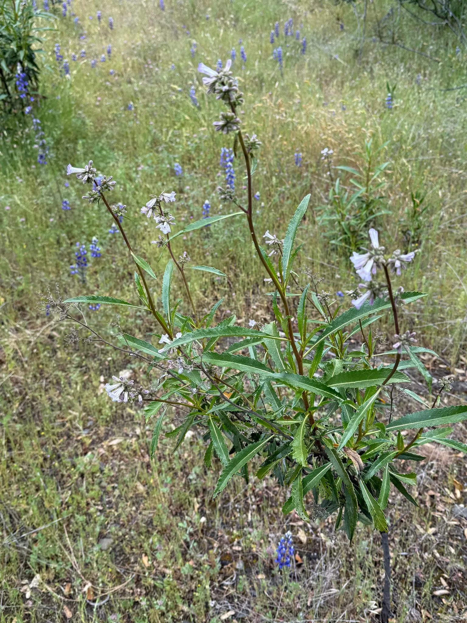 +1 photo
On a cloudy afternoon on April 26, shrubs with long, toothed leaves and clusters of pale lavender flowers were in bloom on the open slopes…
Video and photos from this site.
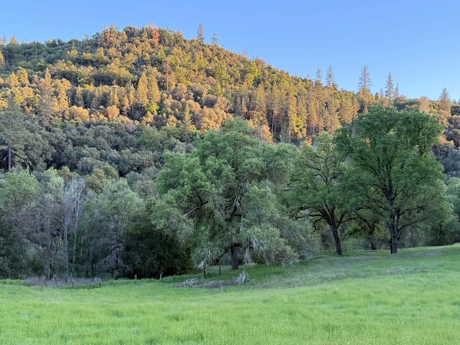 Spring meadow at golden hour.
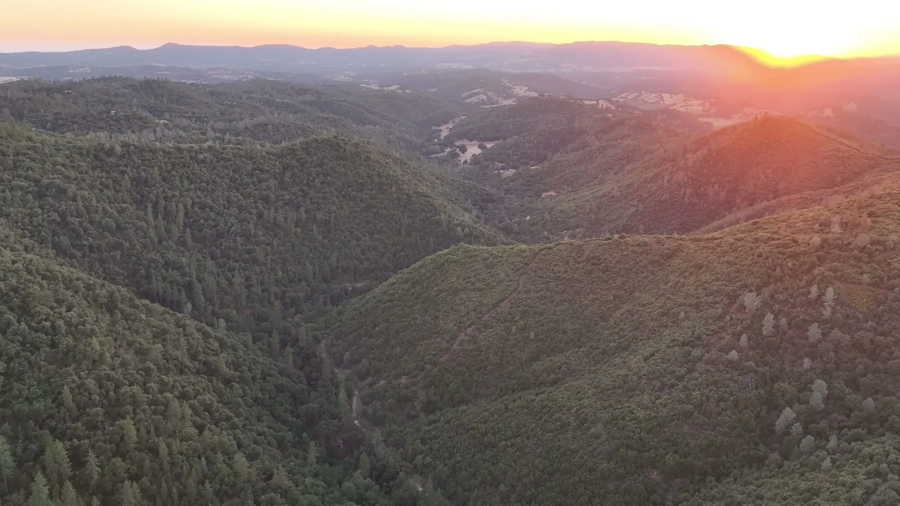 The San Domingo Creek canyon from the air at sunset, late summer.
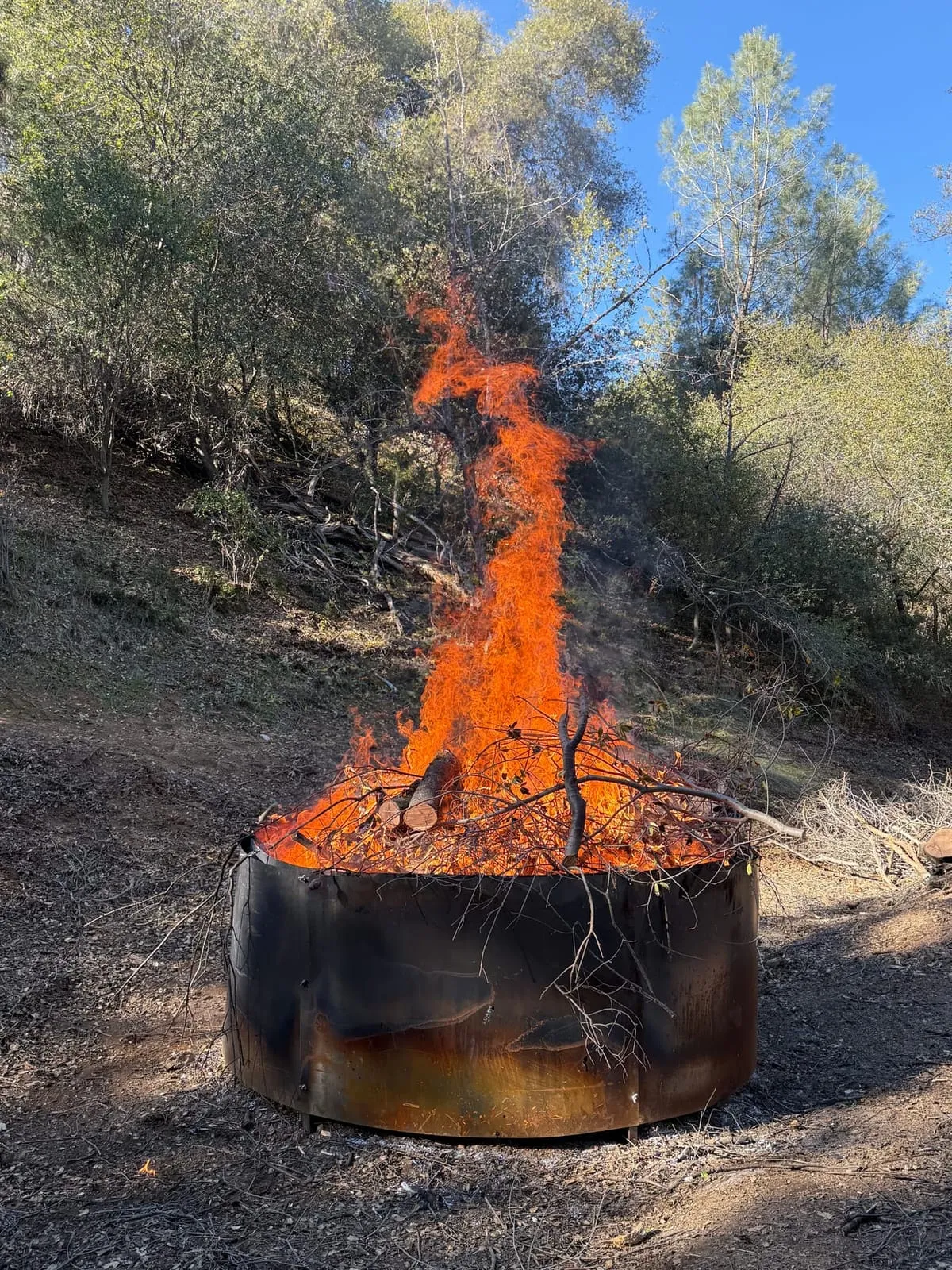 Slash from fuel reduction burning in the ring kiln.
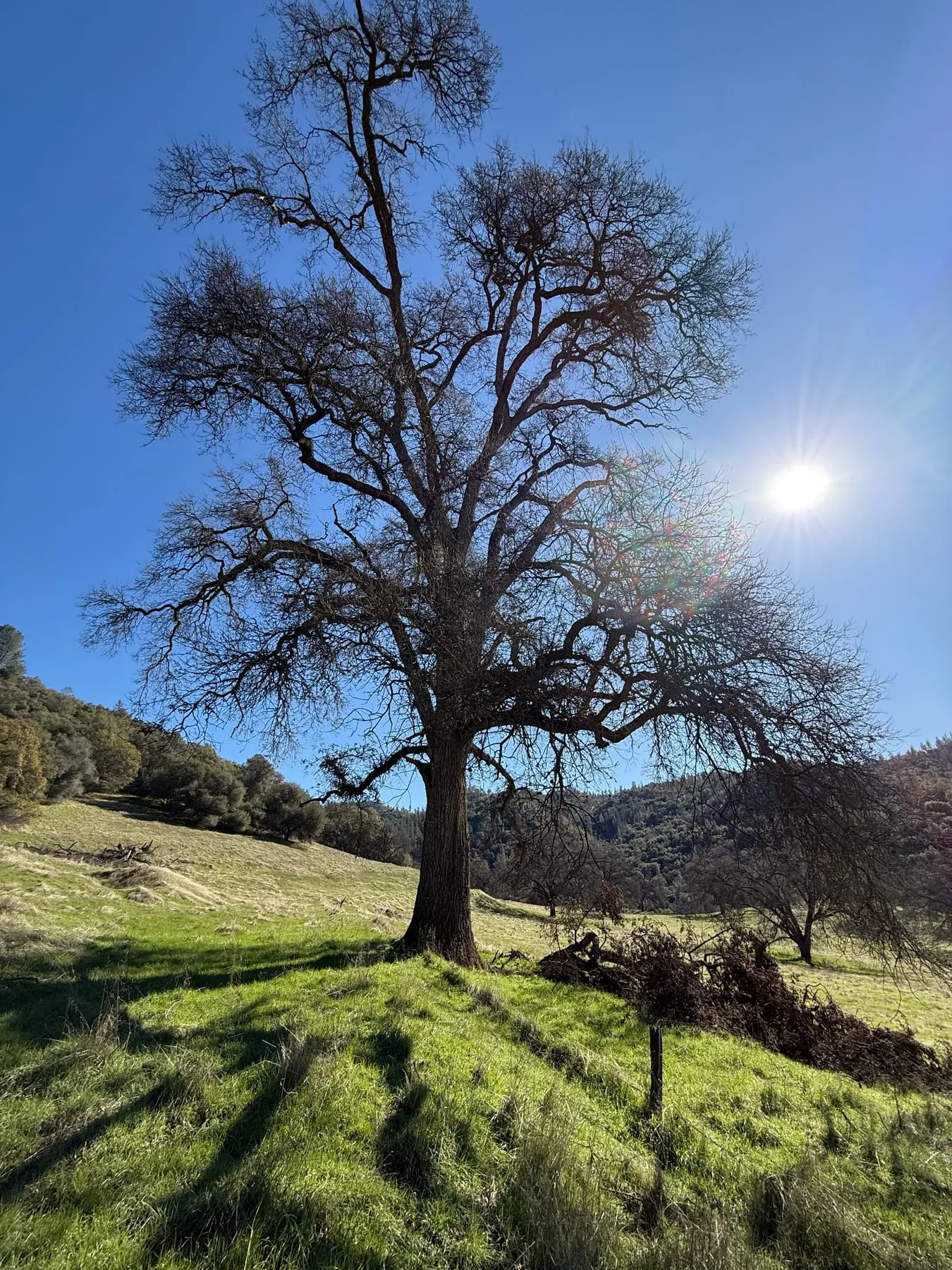 A leafless oak above new green grass in winter.
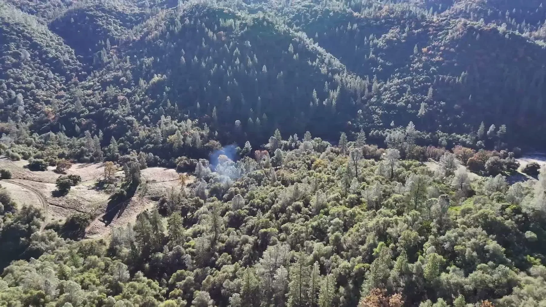 Smoke from the ring-kiln biochar burn rising through the oak and pine woodland, seen from the air in winter.
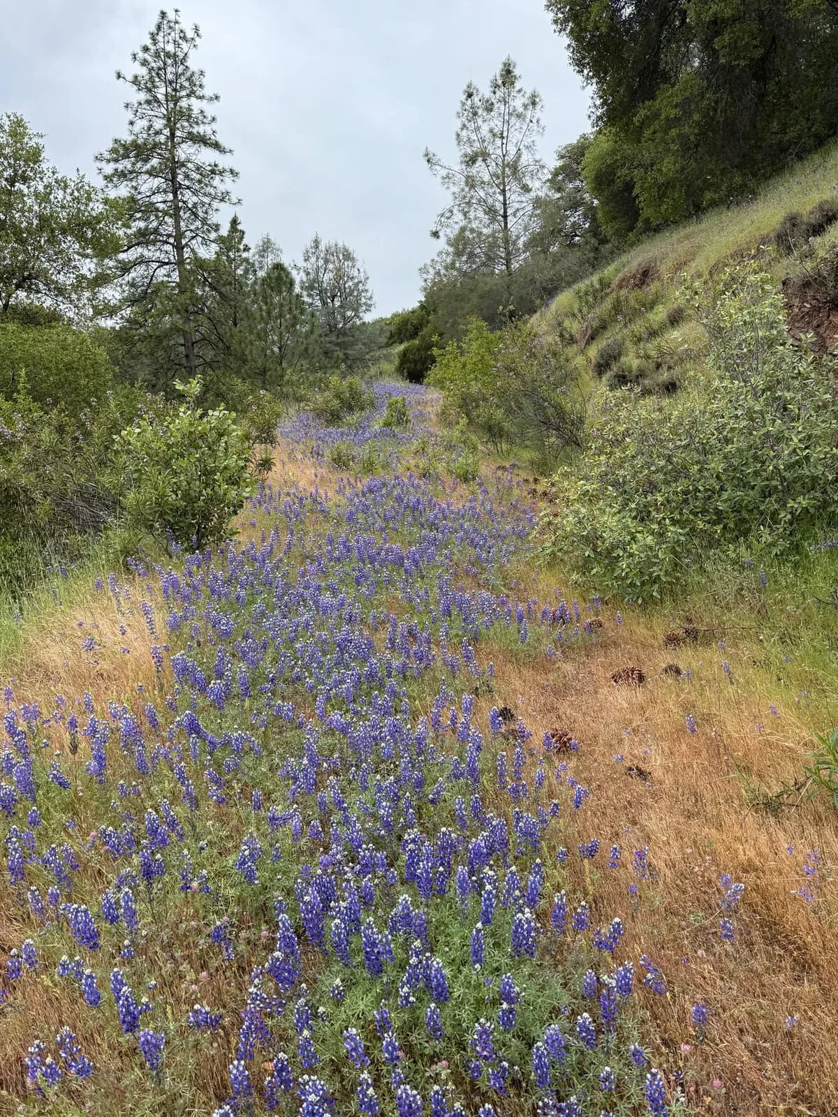 Lupine bloom along a ranch track.
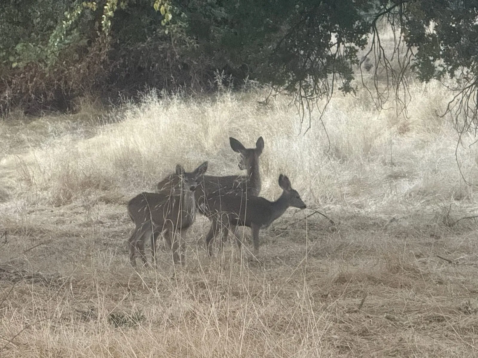 Deer in the dry-season meadow.
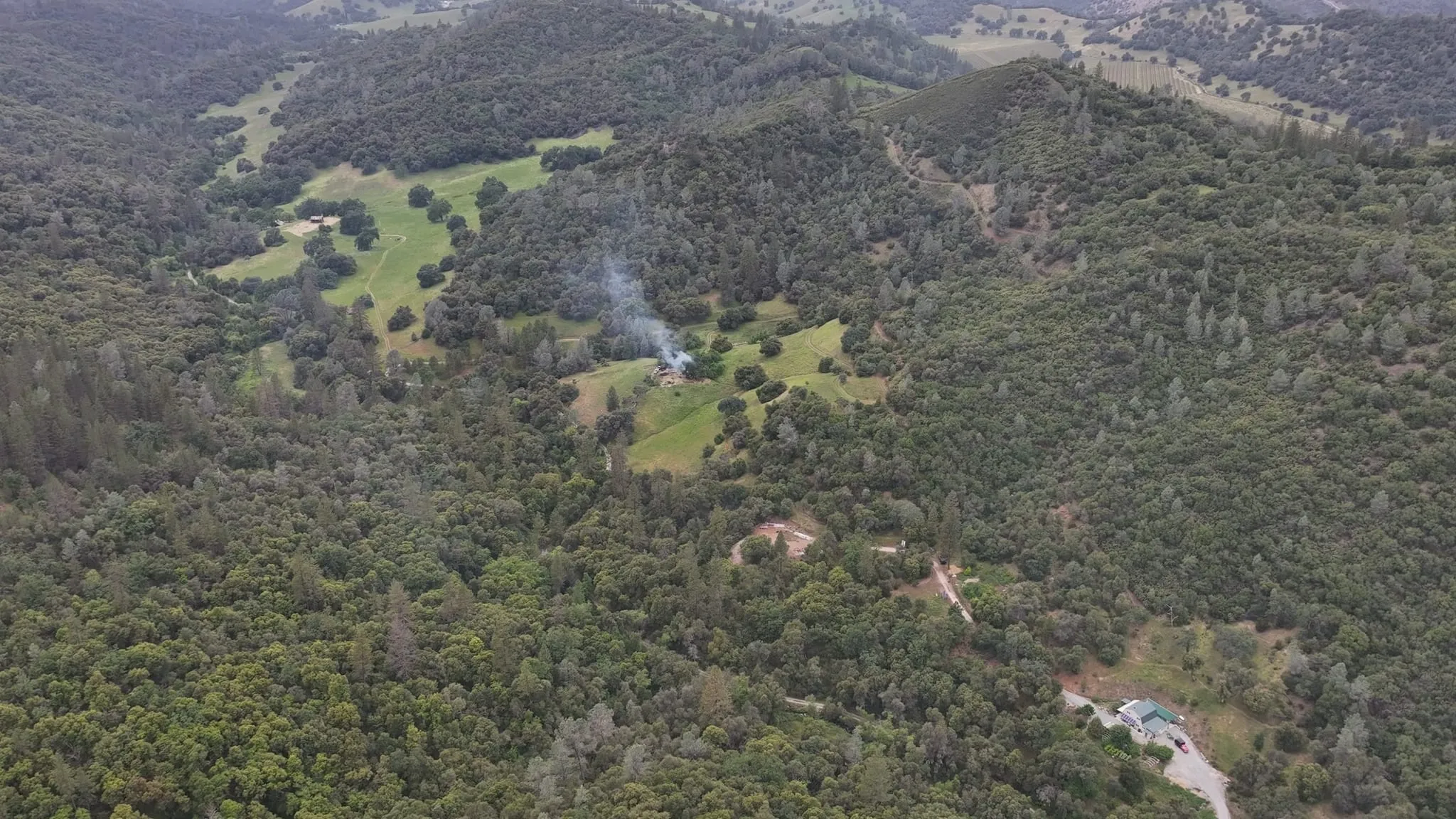 San Domingo Arbory from the air in spring, with a smoke trail from biochar production in the lower meadow.
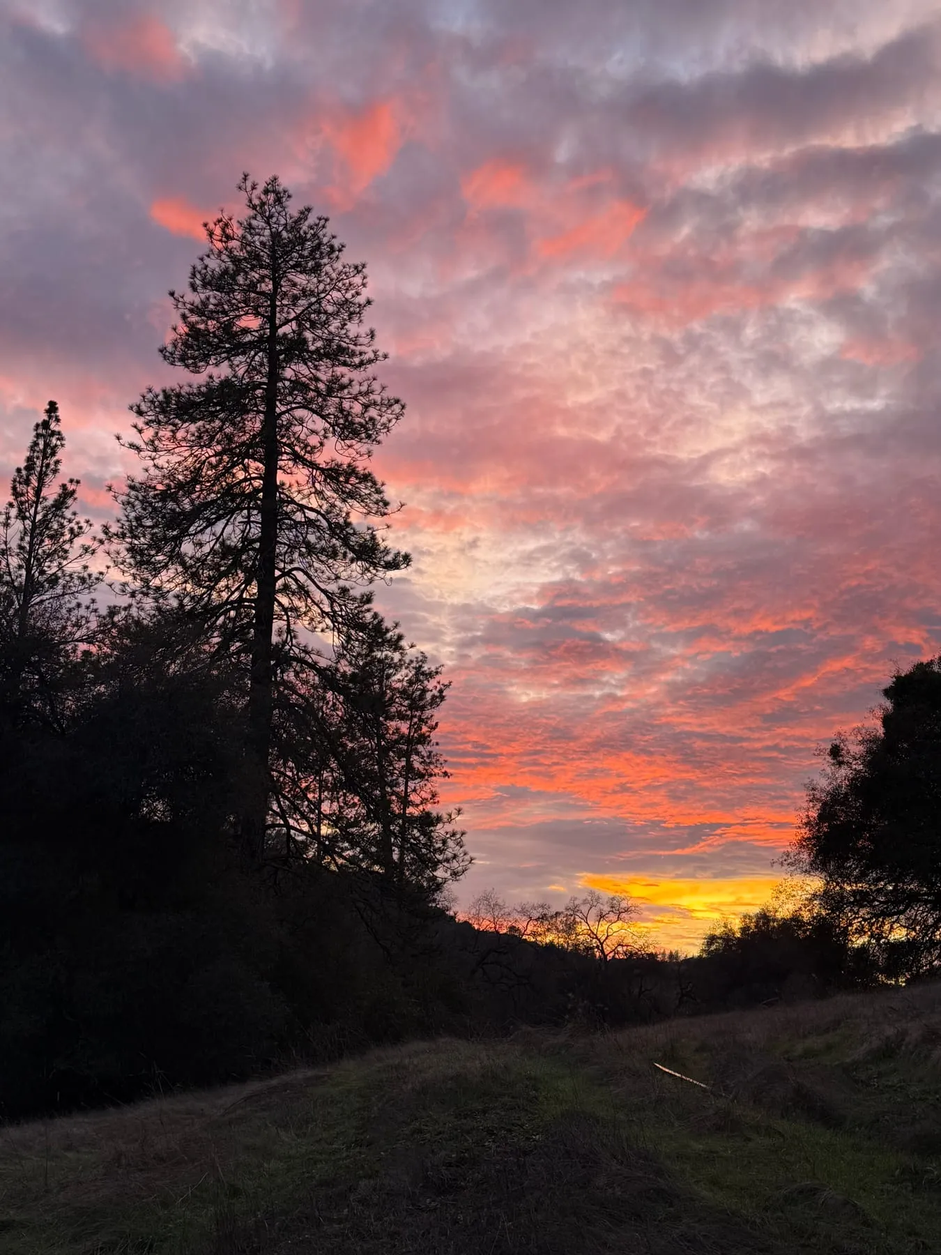 Winter sunset over the meadow, with a tall pine in silhouette.
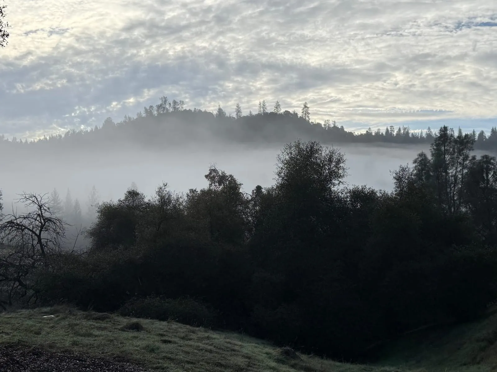 Fog in the valley at dawn.
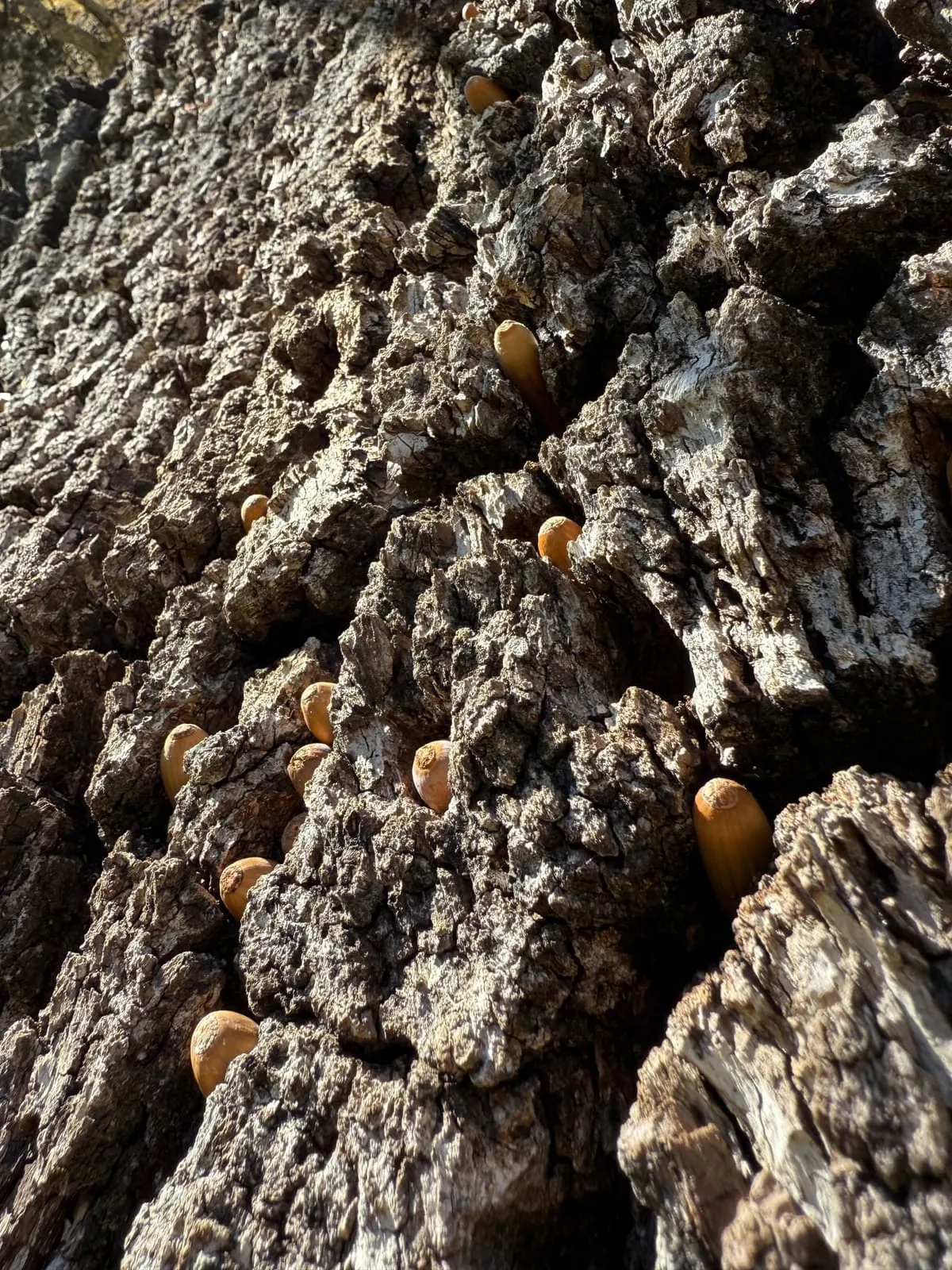 Acorn woodpecker granary in oak bark.
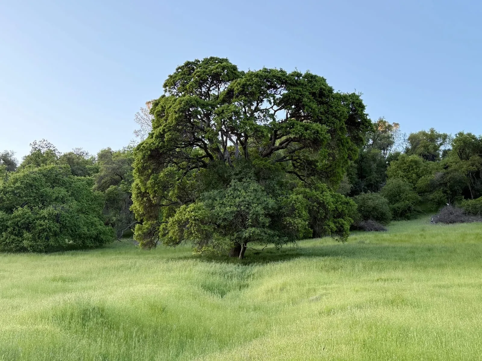 Oak in spring grass.
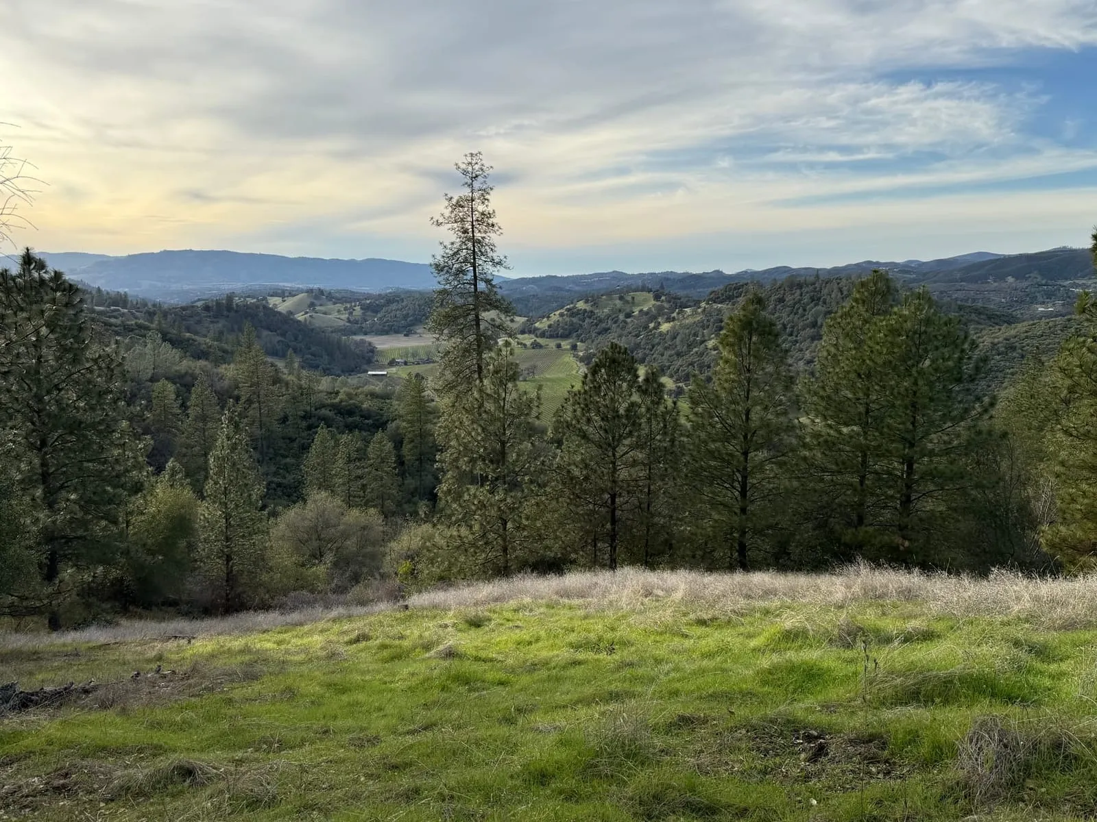 Hilltop meadow above the canyon.
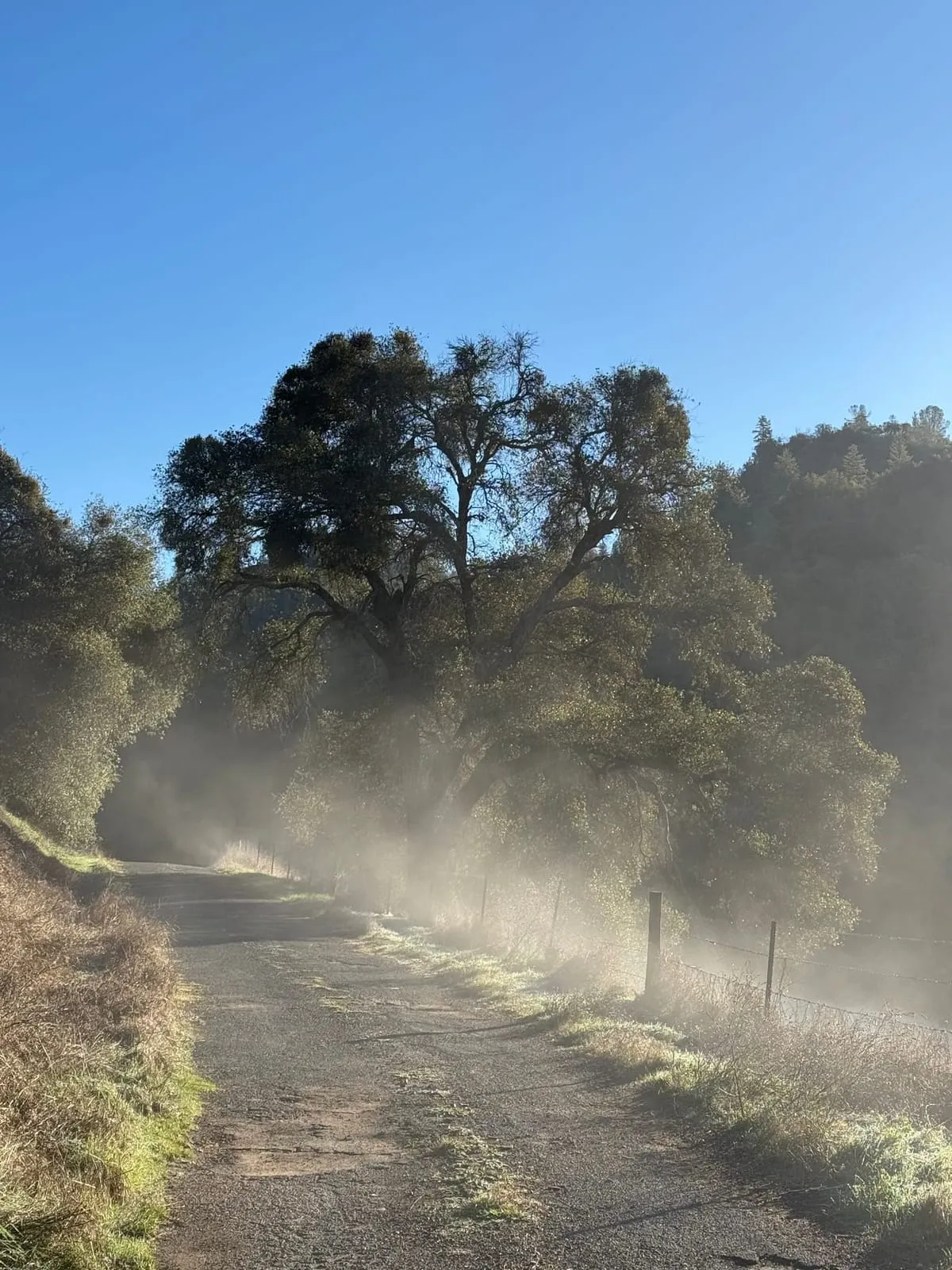 Morning mist on the ranch road.
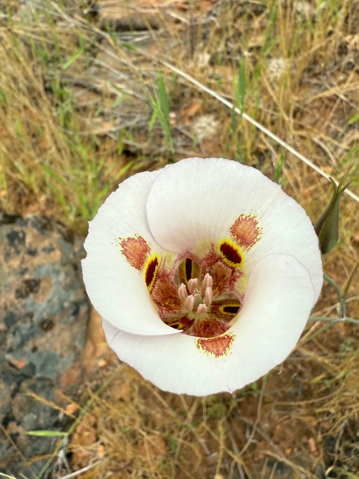 Mariposa lily in bloom.
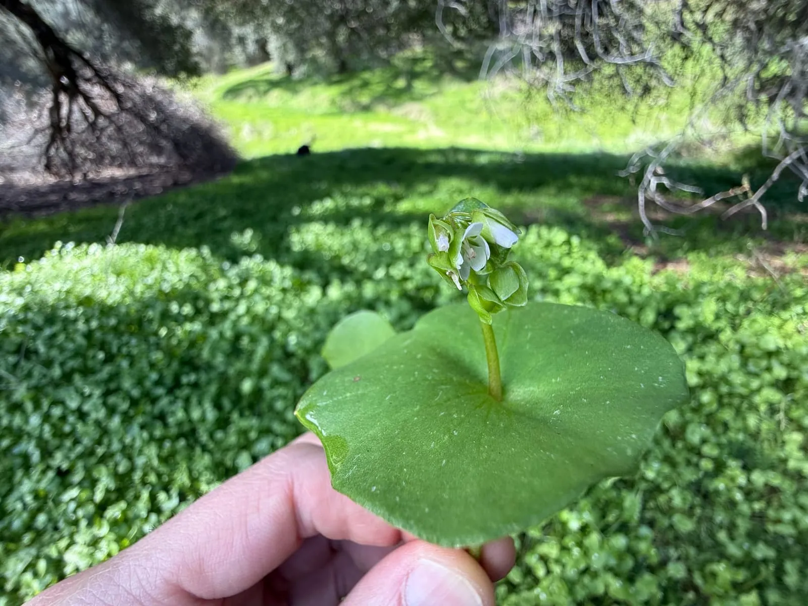 Miner's lettuce under the oaks.
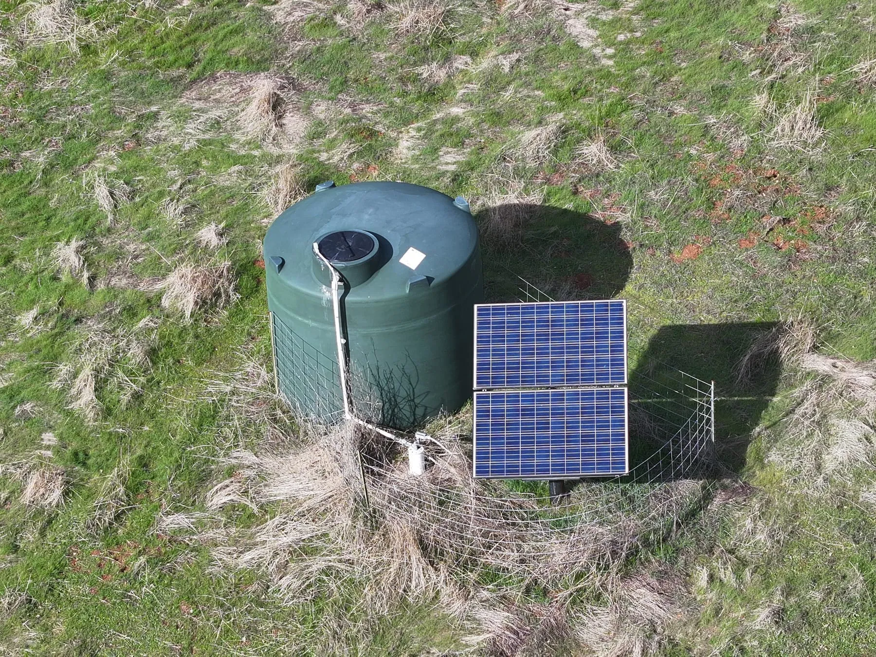 Solar-powered water tank in the pasture.
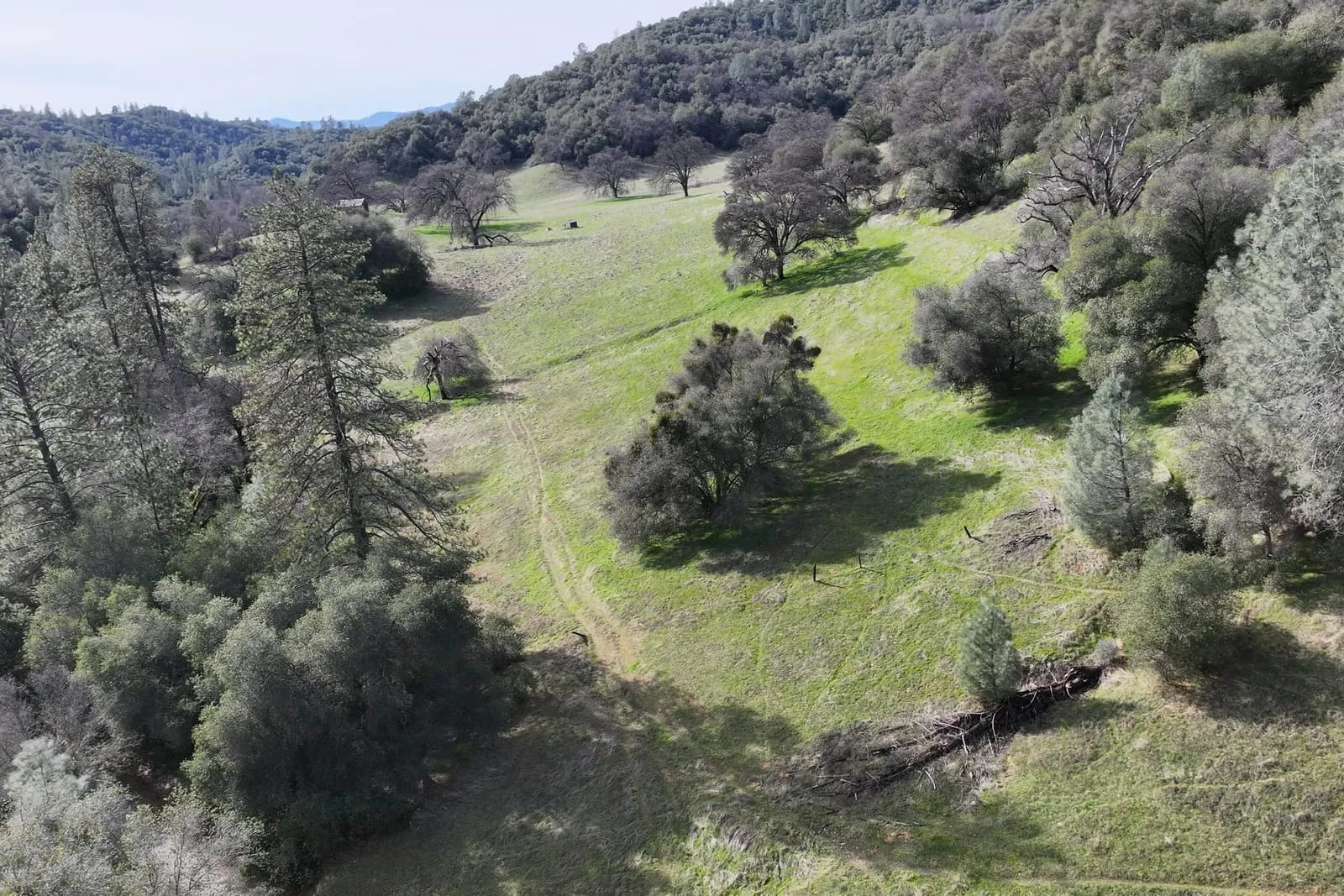 Winter meadow and oaks.
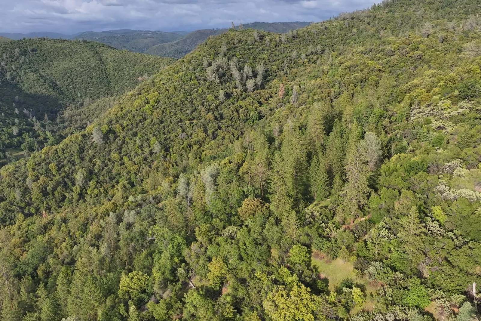 Forested slopes in spring.
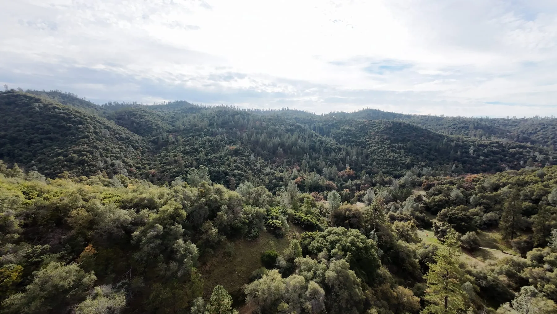 Oak woodland and pines across the canyon slopes under winter cloud.
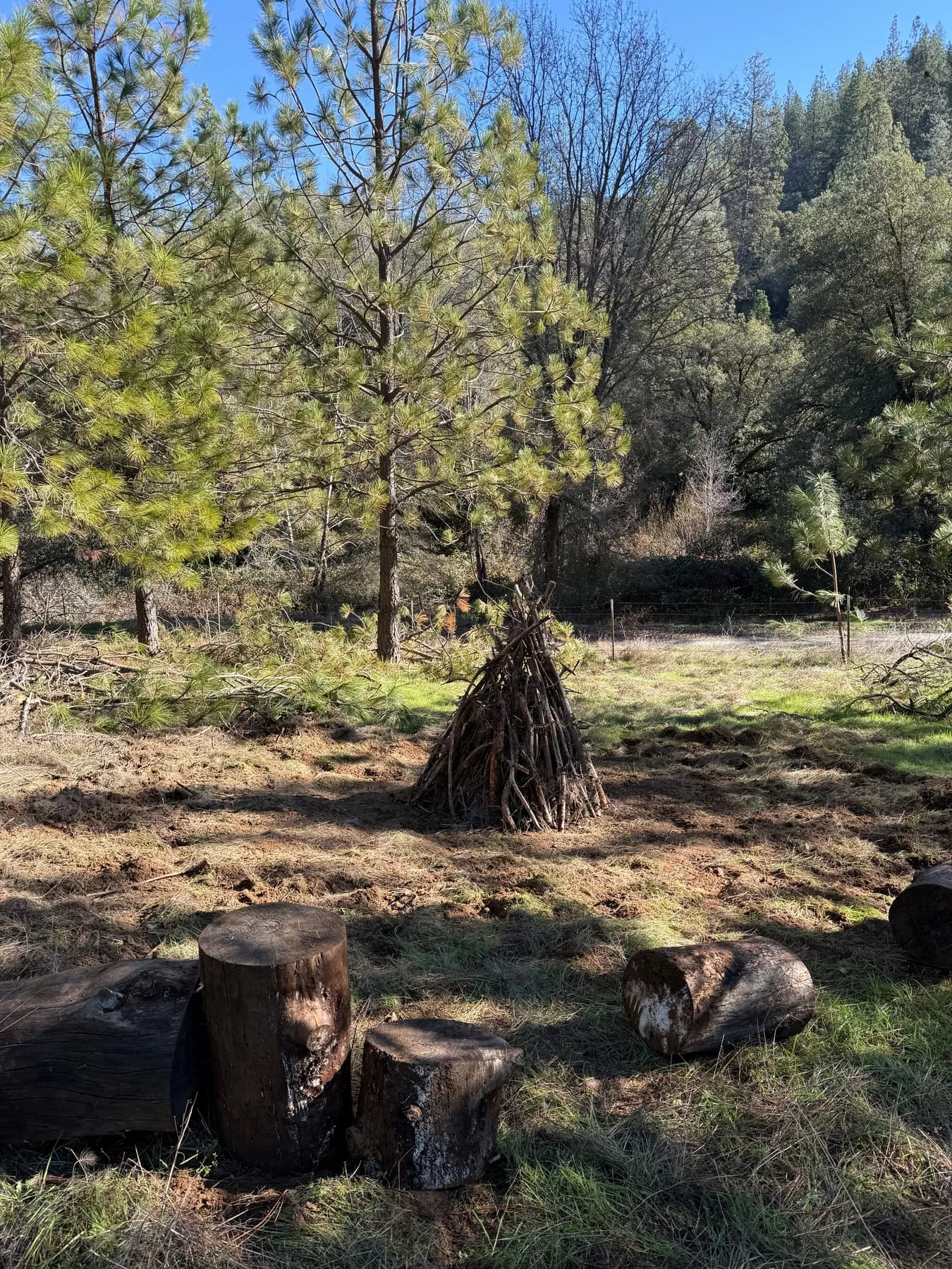 Brush stacked into a teepee in a cleared patch among young pines, with cut pine rounds in front.
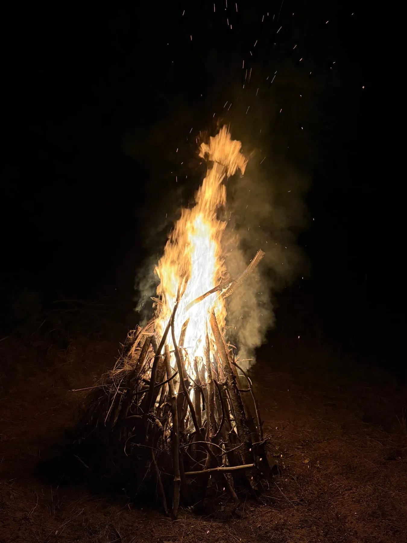 A bonfire of stacked brush after dark in winter.
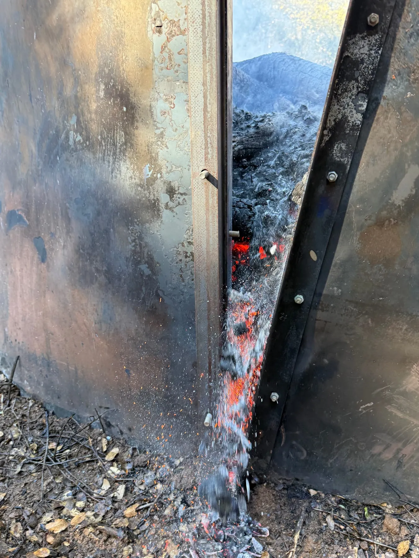 Glowing coals spill through a seam in the steel kiln wall during a winter burn.
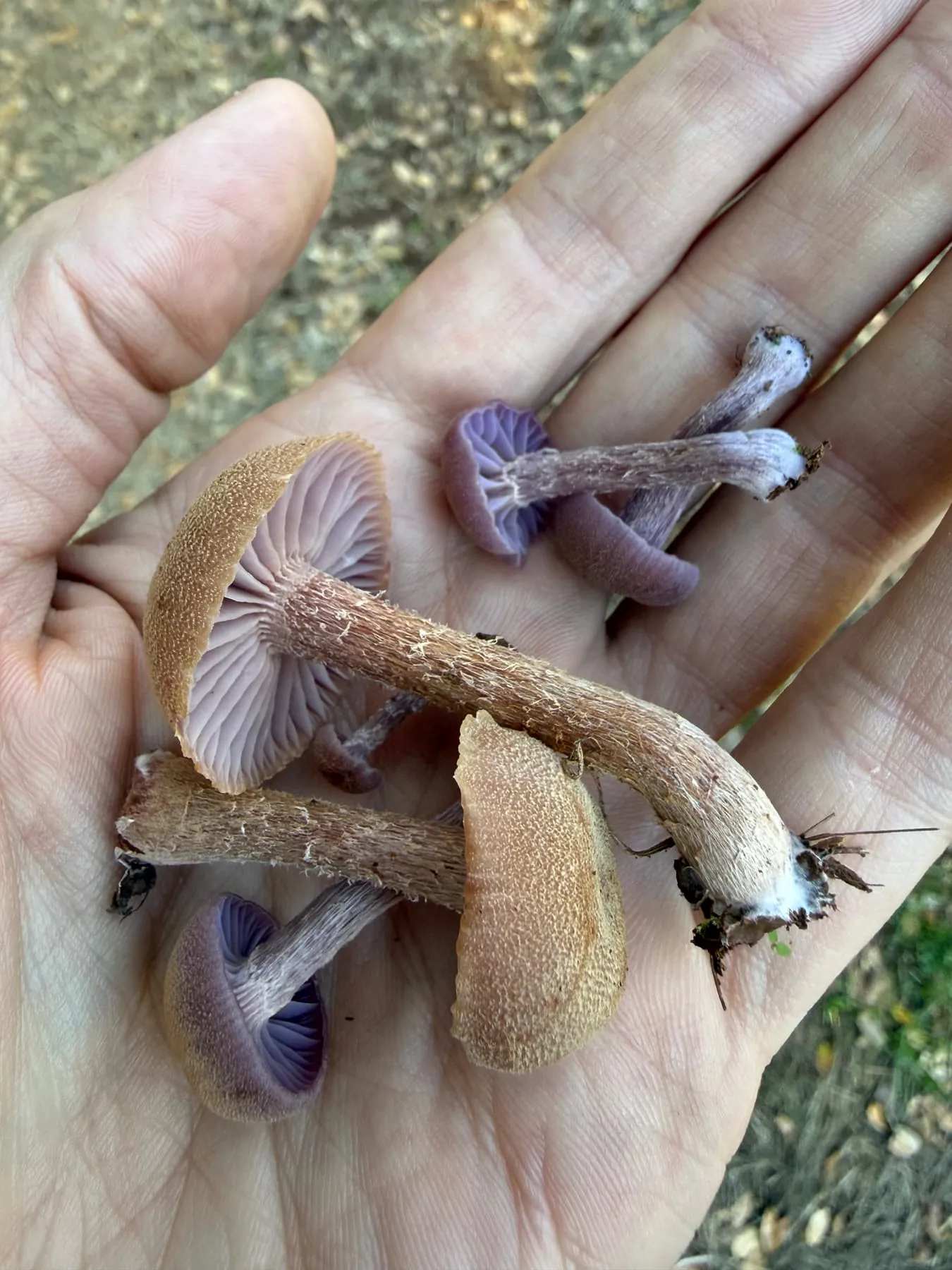 Wild mushrooms with lilac gills and scaly stems, held for a closer look in winter.
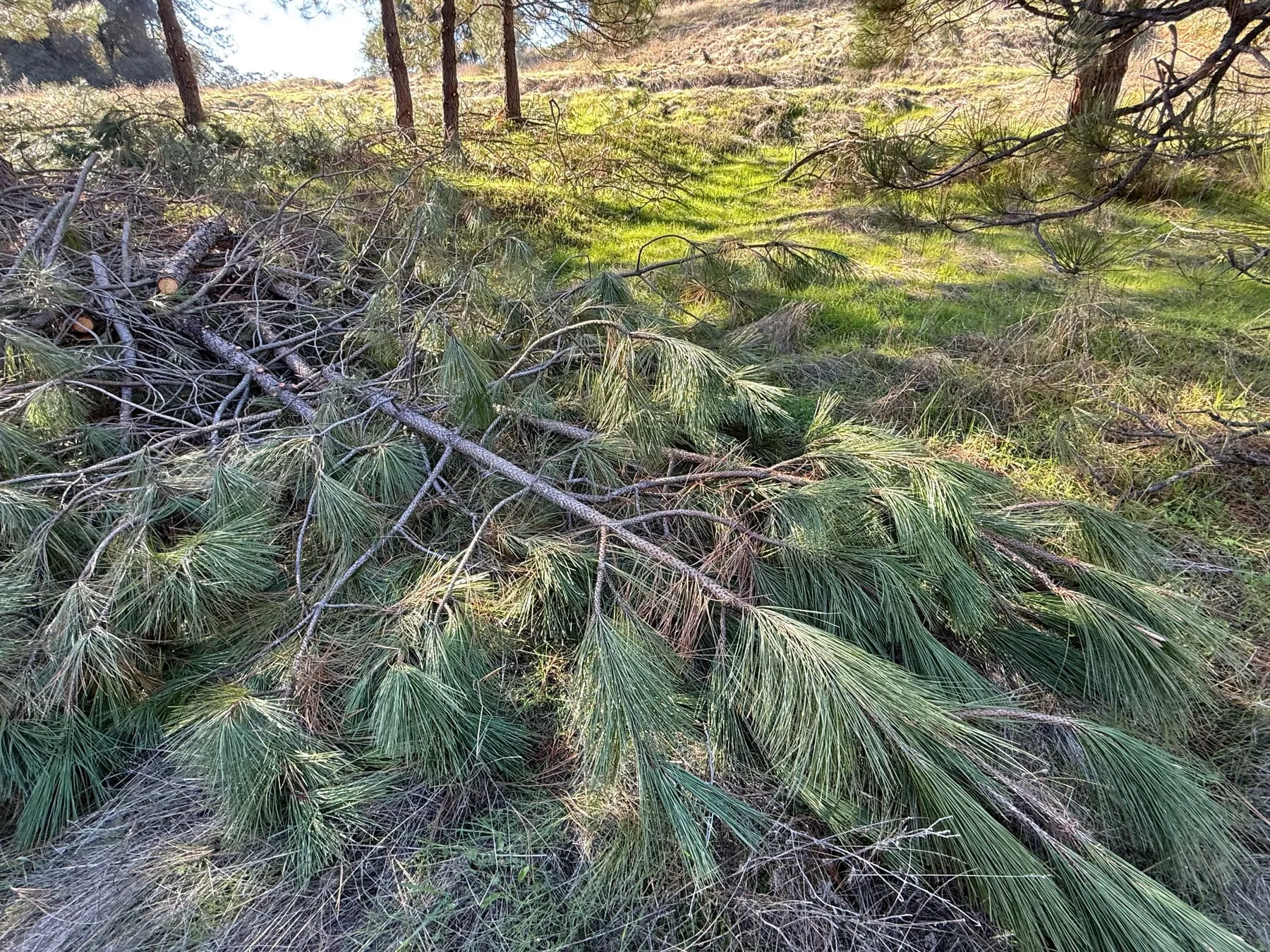 Freshly cut pine limbs from thinning on the green winter grass.
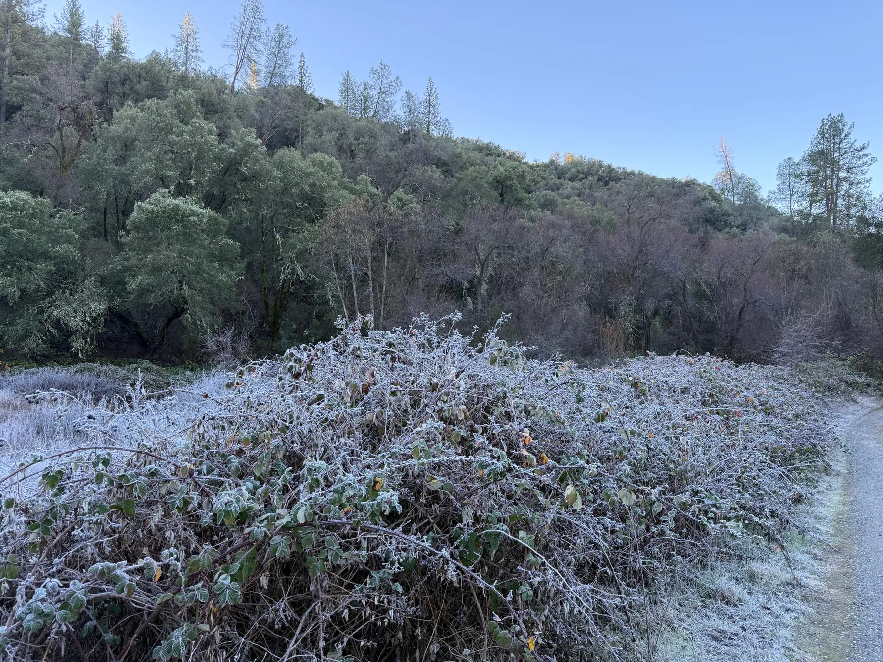 Hoarfrost on Himalayan blackberry (Rubus armeniacus) beside a gravel track on a winter morning.
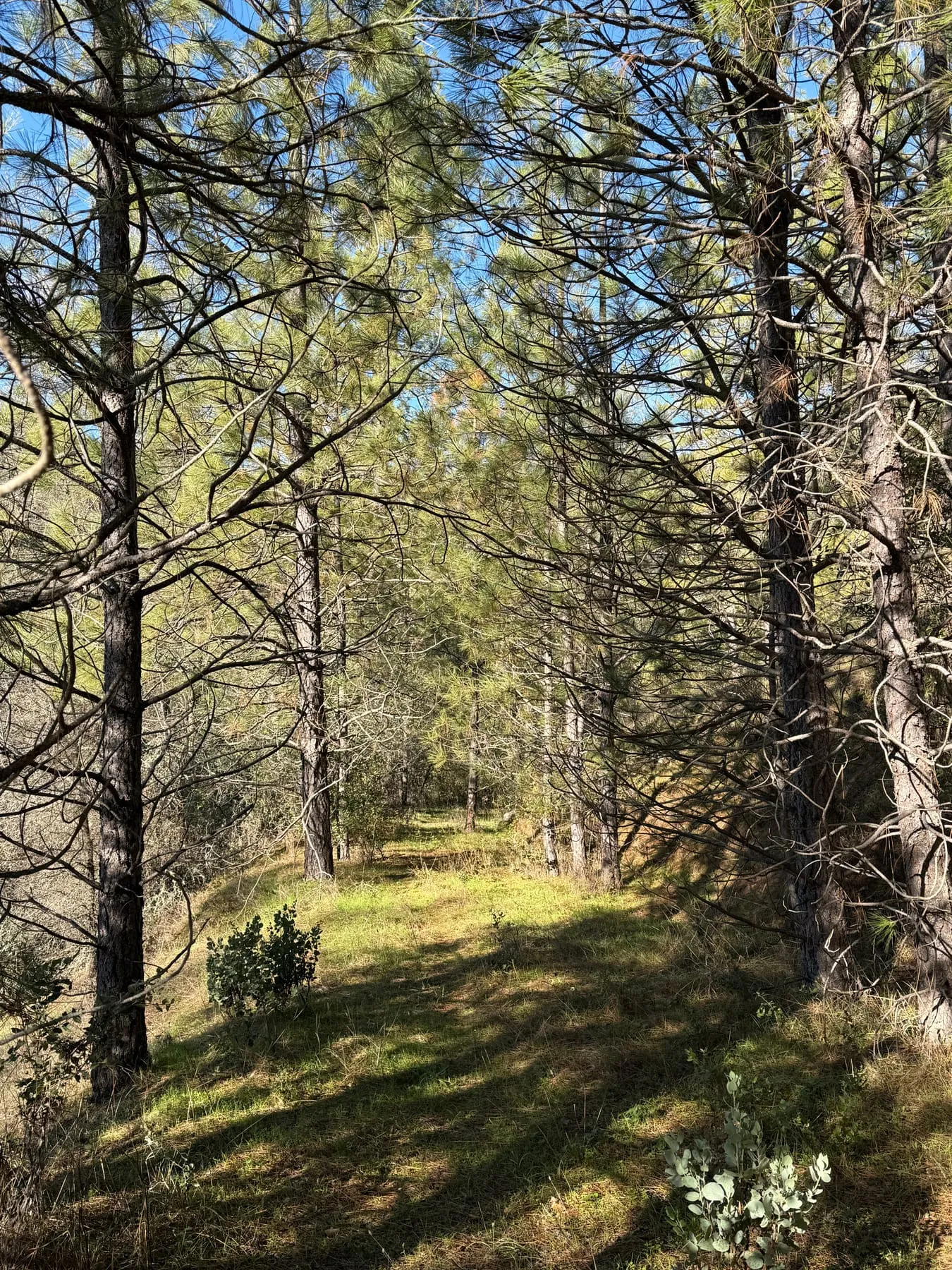 Open pine forest with a sunlit grassy understory.
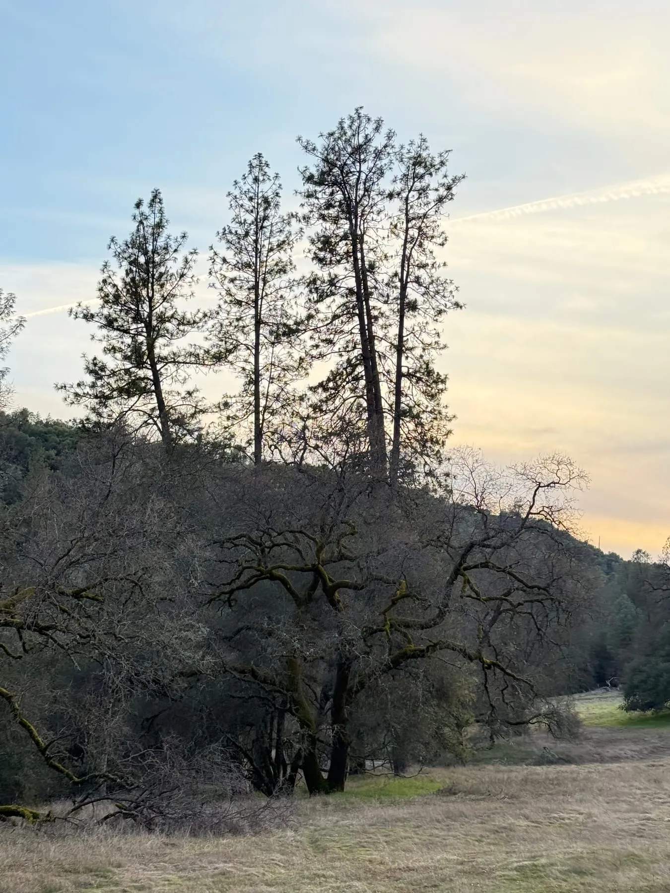 Pines and a mossy oak at dusk above a winter meadow.
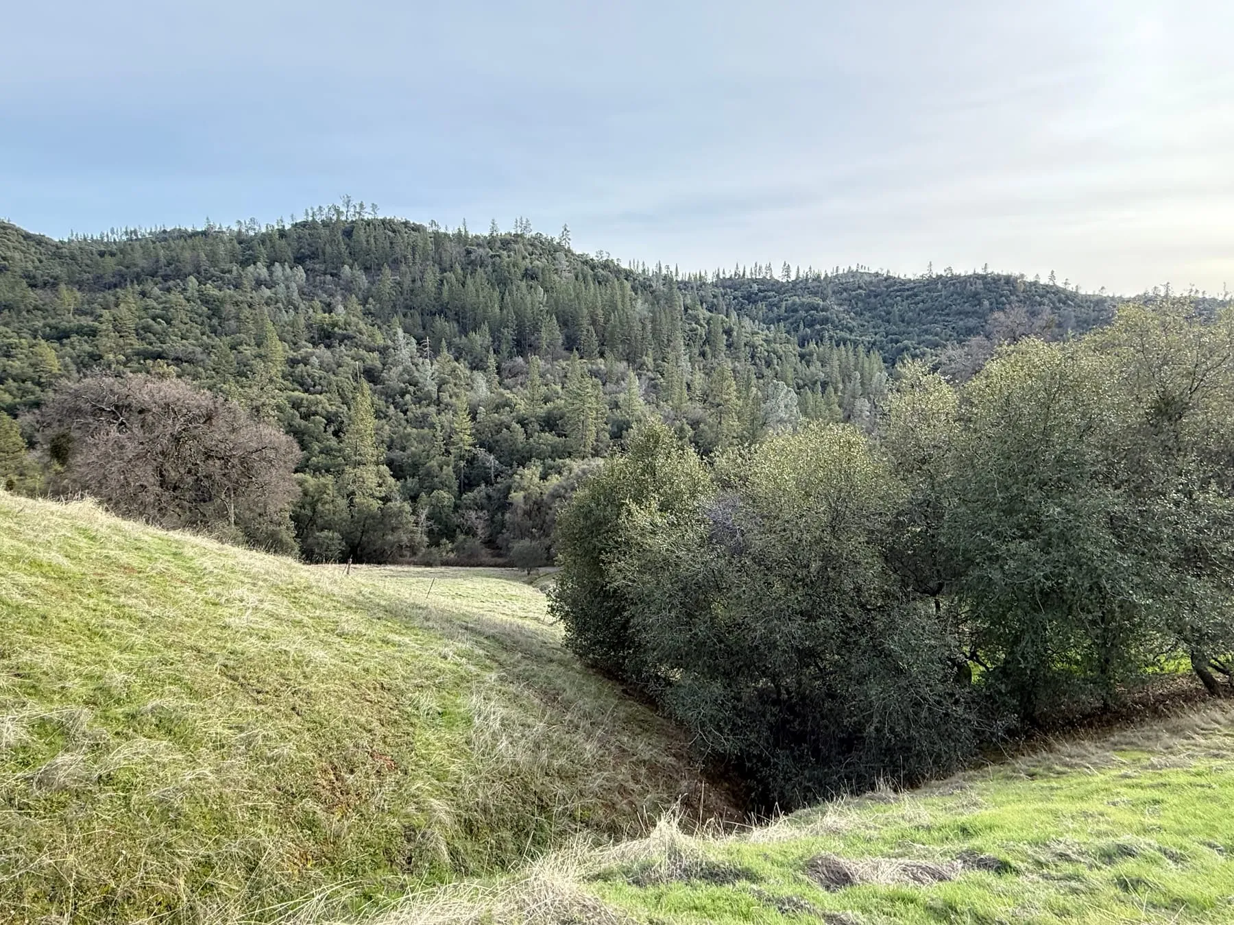 A grassy swale between oak-covered hills.
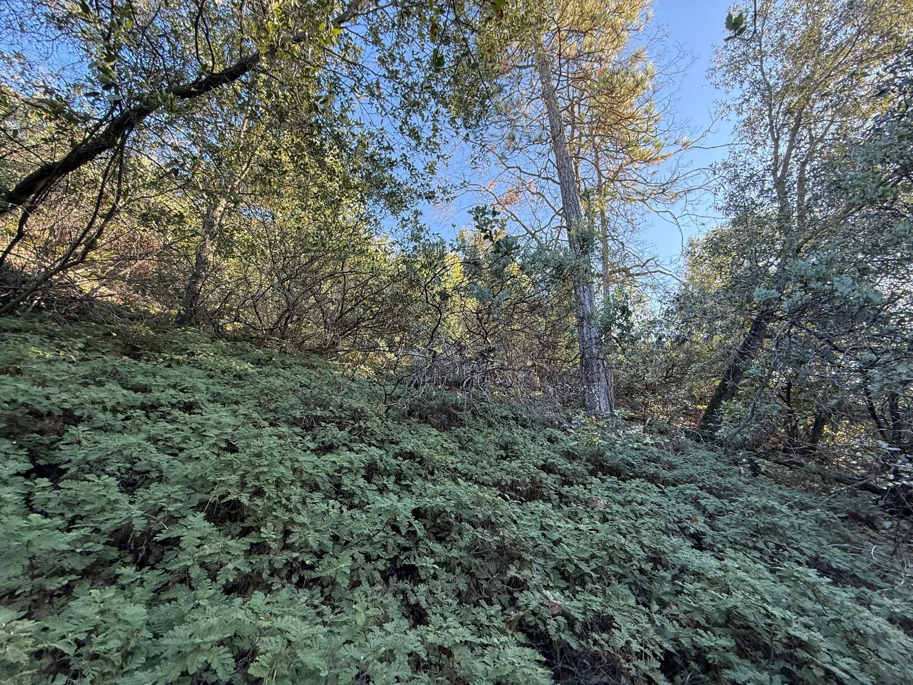 Mountain misery (Chamaebatia foliolosa) carpeting the slope under oaks and pines.
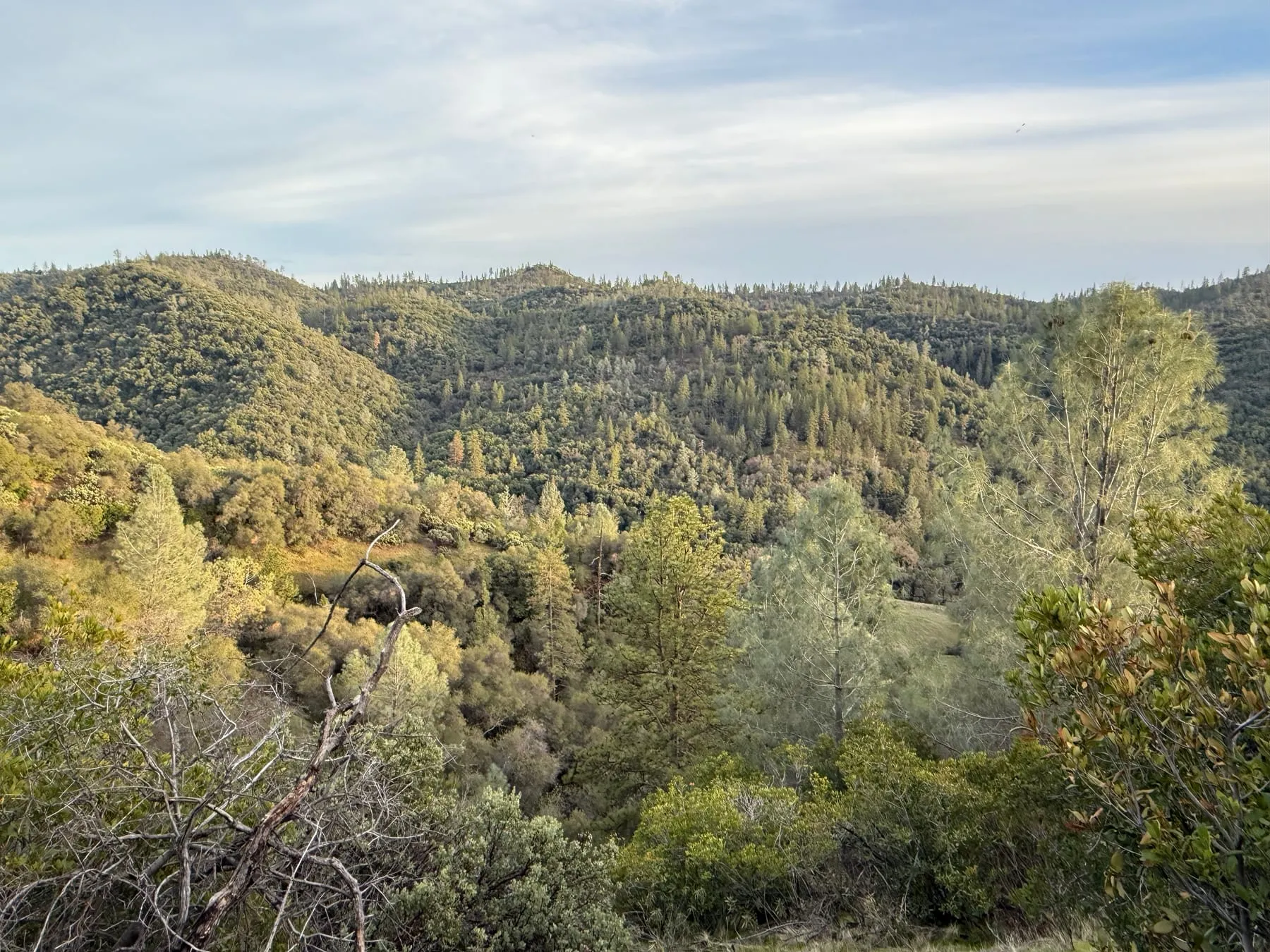 Late-day sun on gray pine (Pinus sabiniana) and chaparral slopes across a canyon.
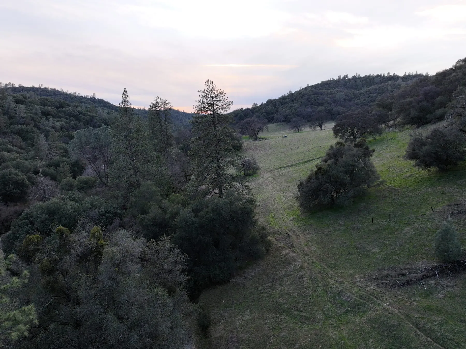 Dusk over a green meadow and oak woodland in winter, seen from the air.
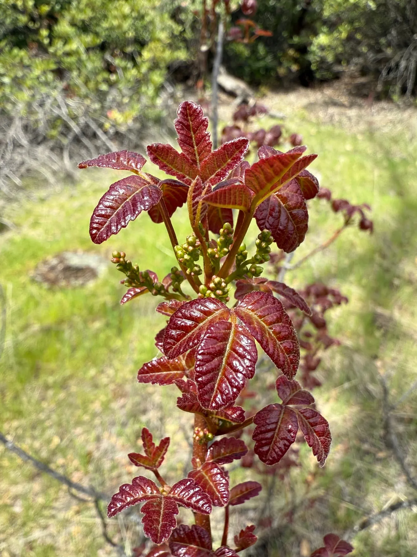 New leaves and flower buds of Pacific poison oak (Toxicodendron diversilobum) in spring.
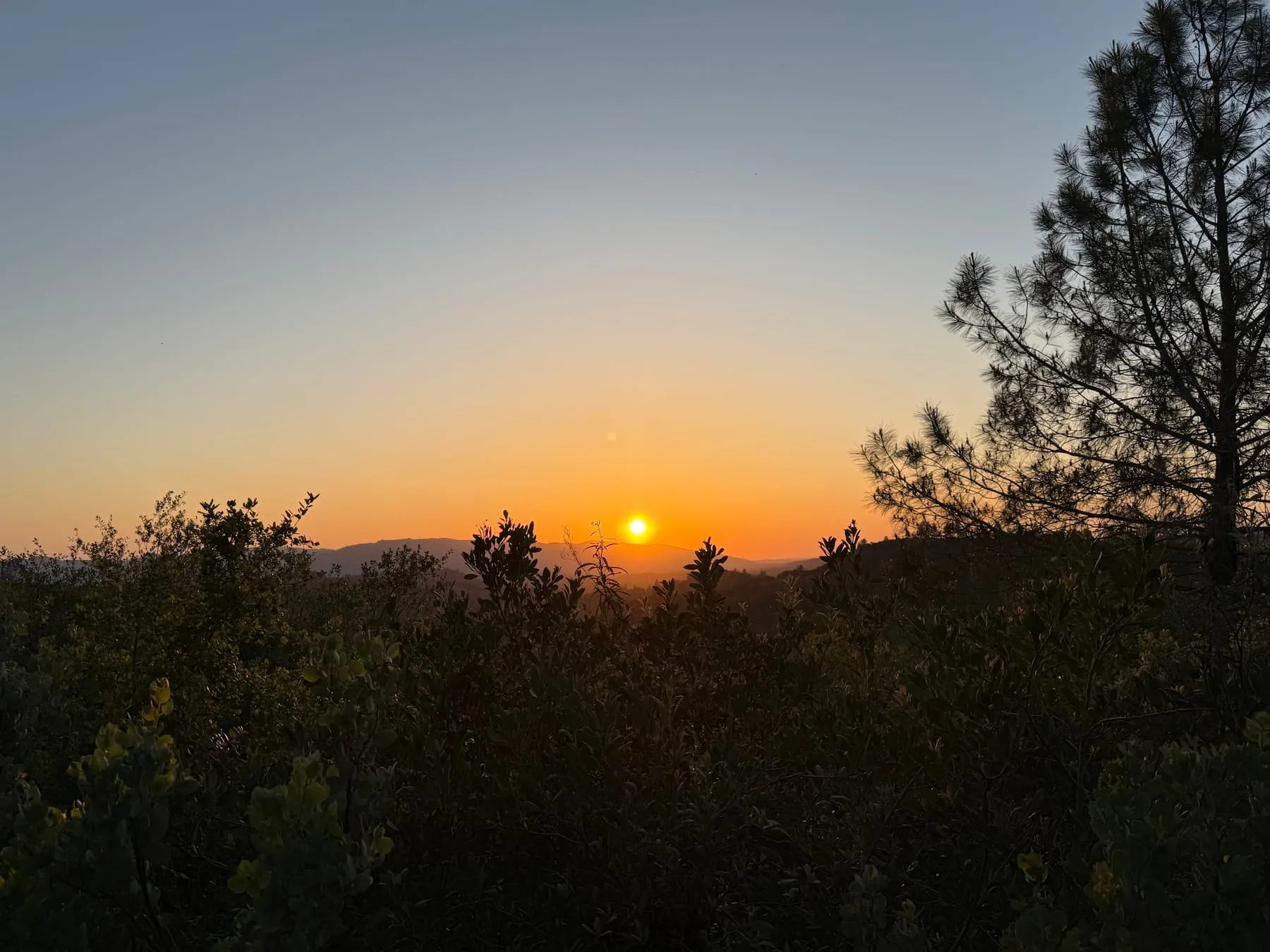 Sunset over the foothill ridges.
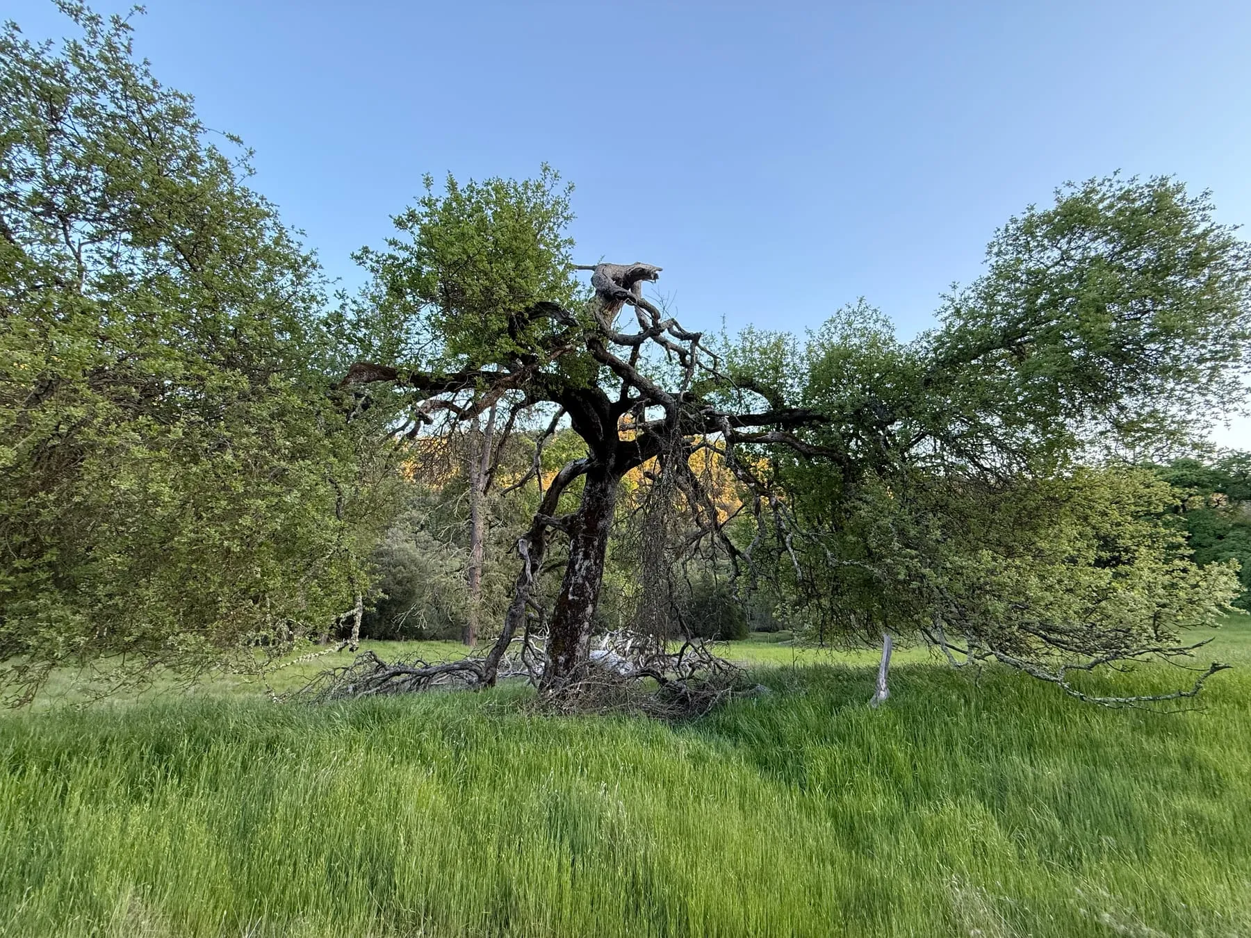 Gnarled old oak with a partly dead crown in tall spring grass.
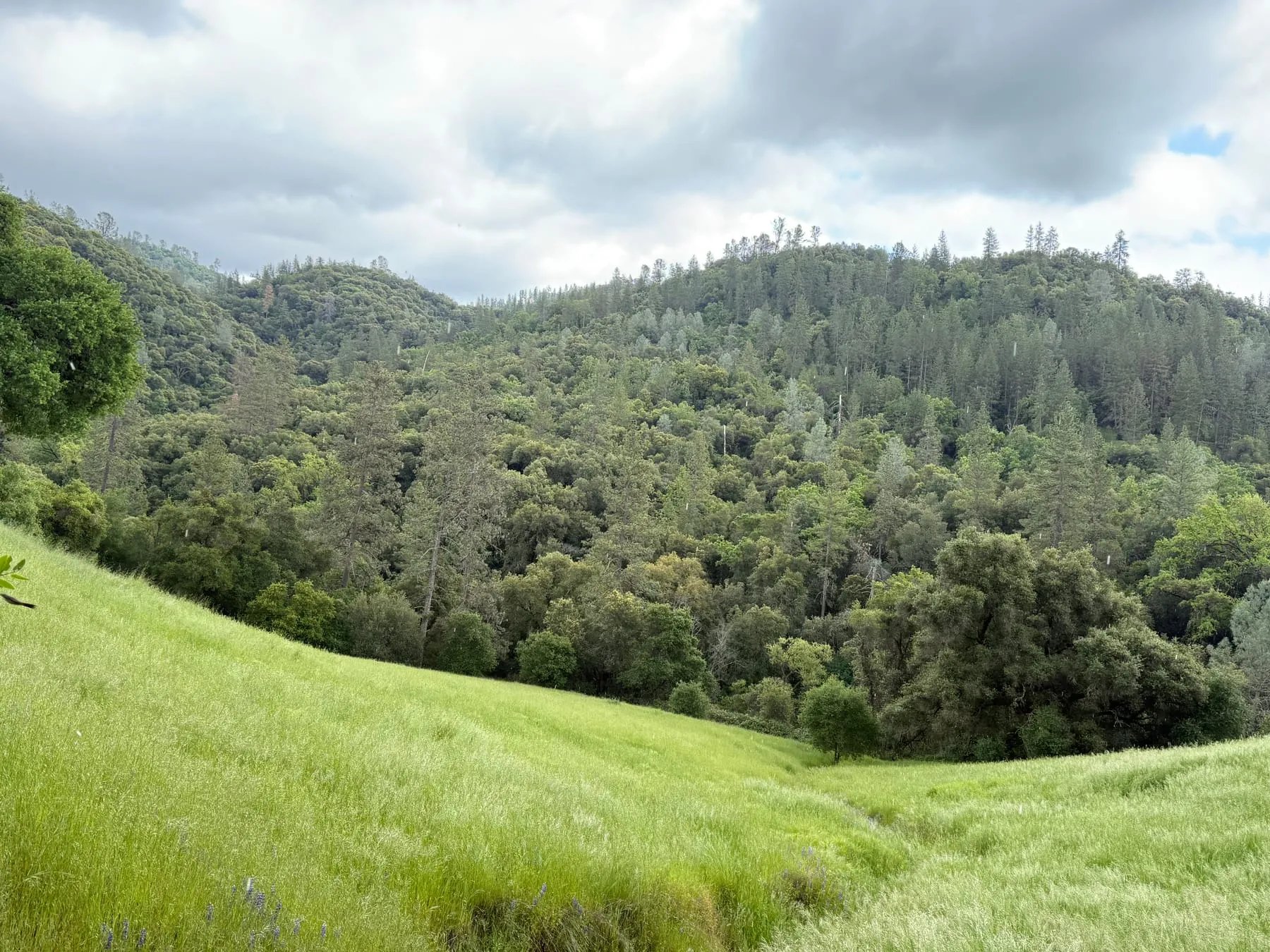 Spring storm clouds over the meadow and wooded hills, with rain falling.
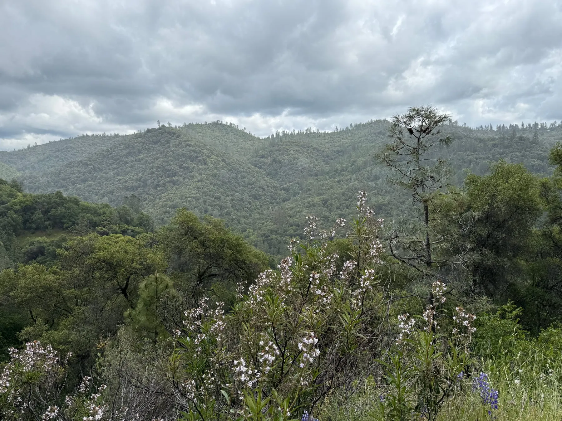 Flowering shrubs and lupine above the oak-and-pine canyon in spring.
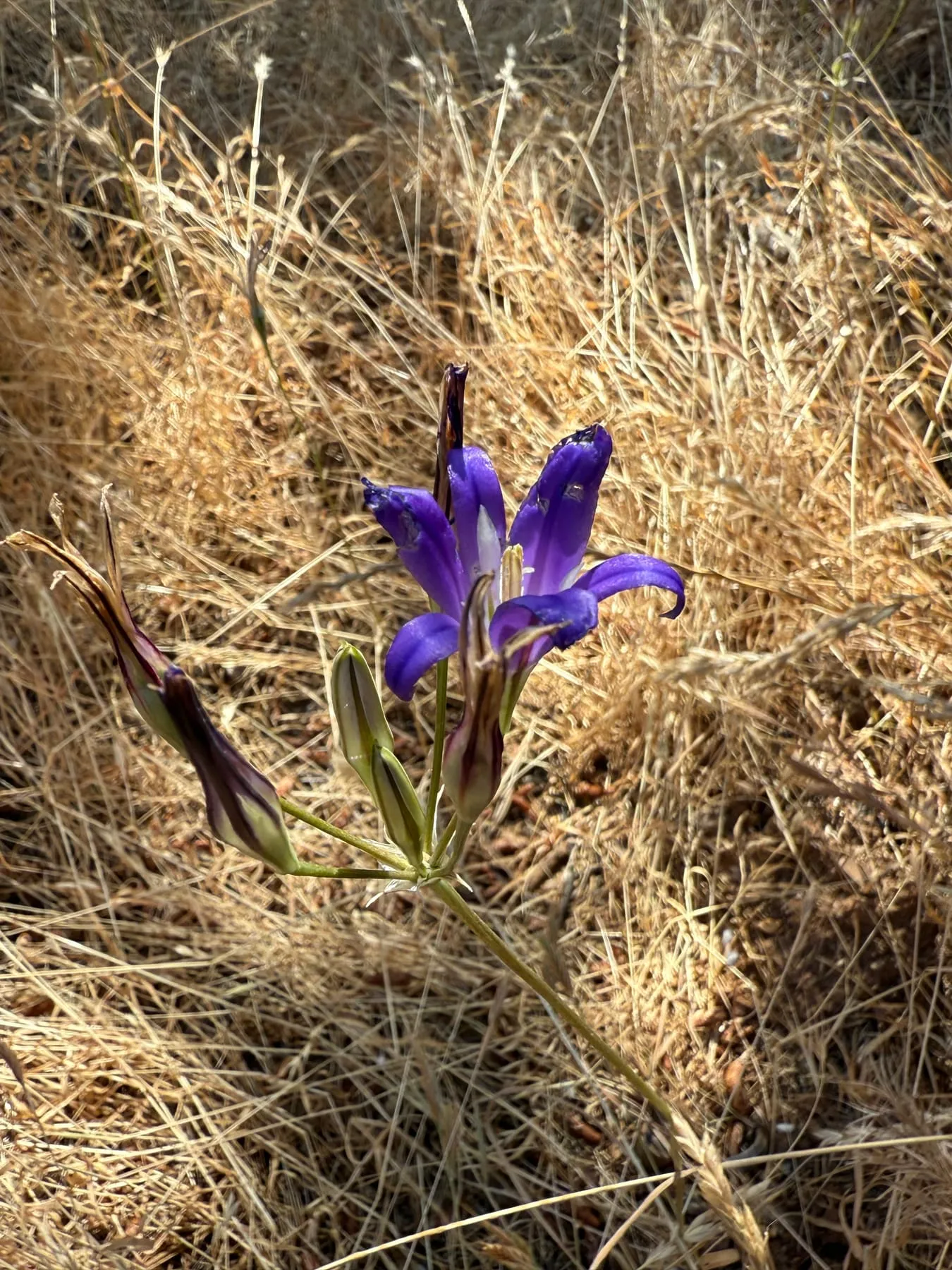 A brodiaea (Brodiaea sp.) blooms in dry grass in early summer.
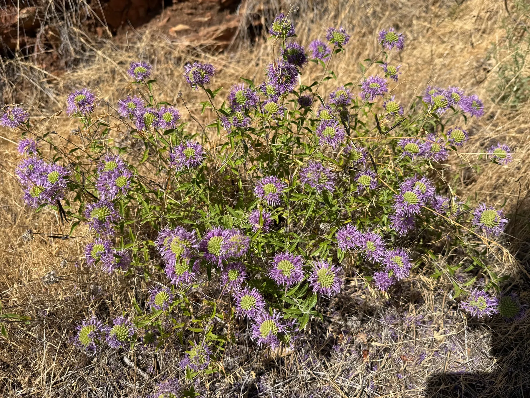 Coyote mint (Monardella sp.) in bloom over dry grass in early summer.
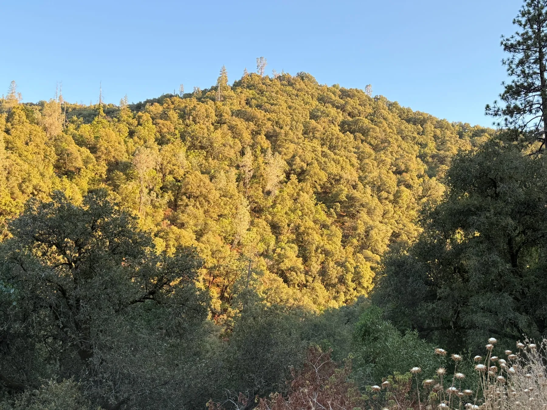 Late-afternoon sun on oak and pine woodland in summer.
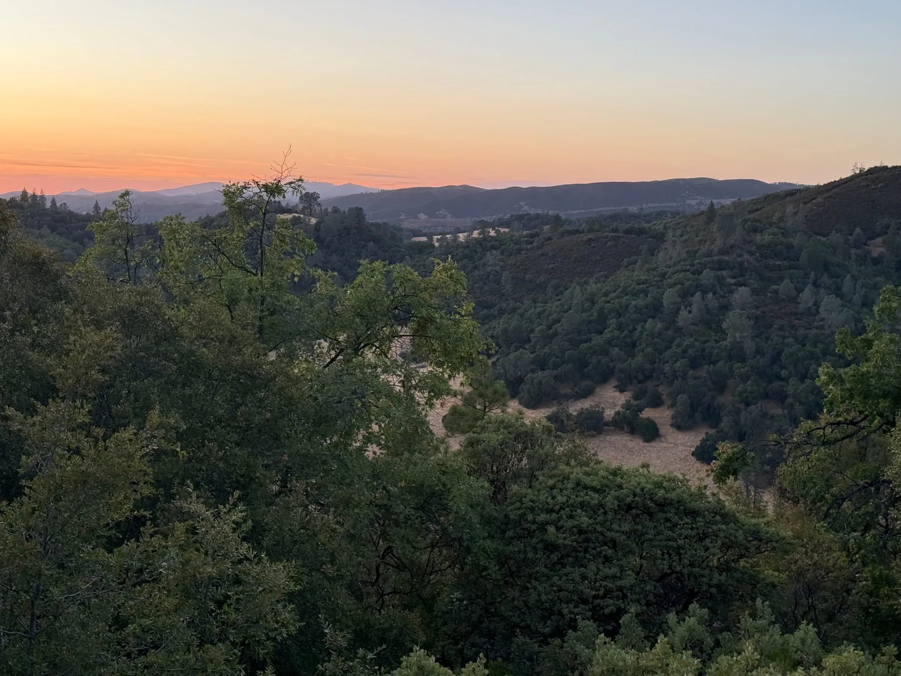 Sunset over the oak-woodland canyon in late summer.
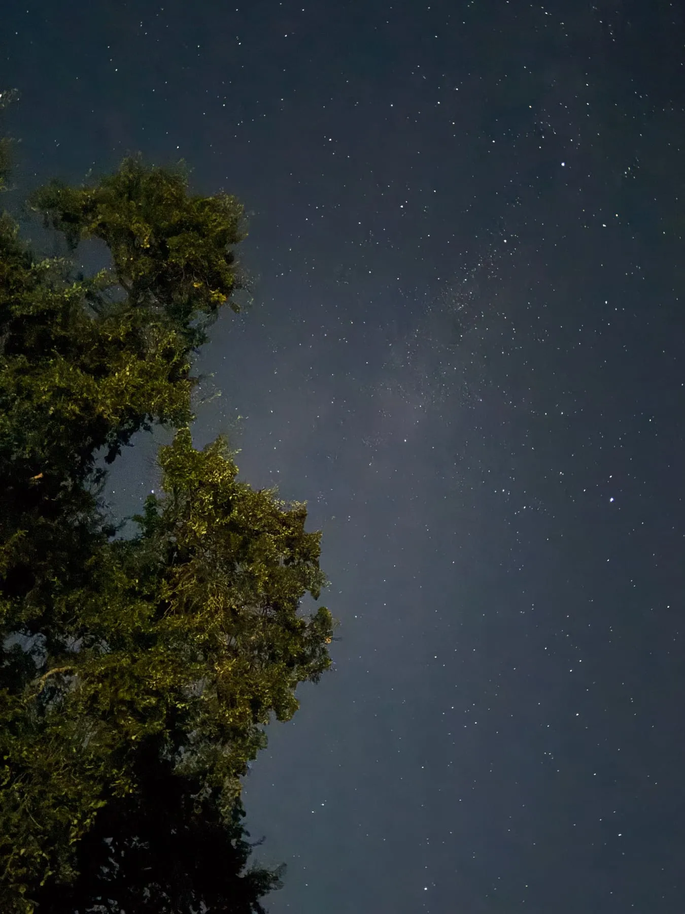 Stars and the faint Milky Way beside a tree at night.
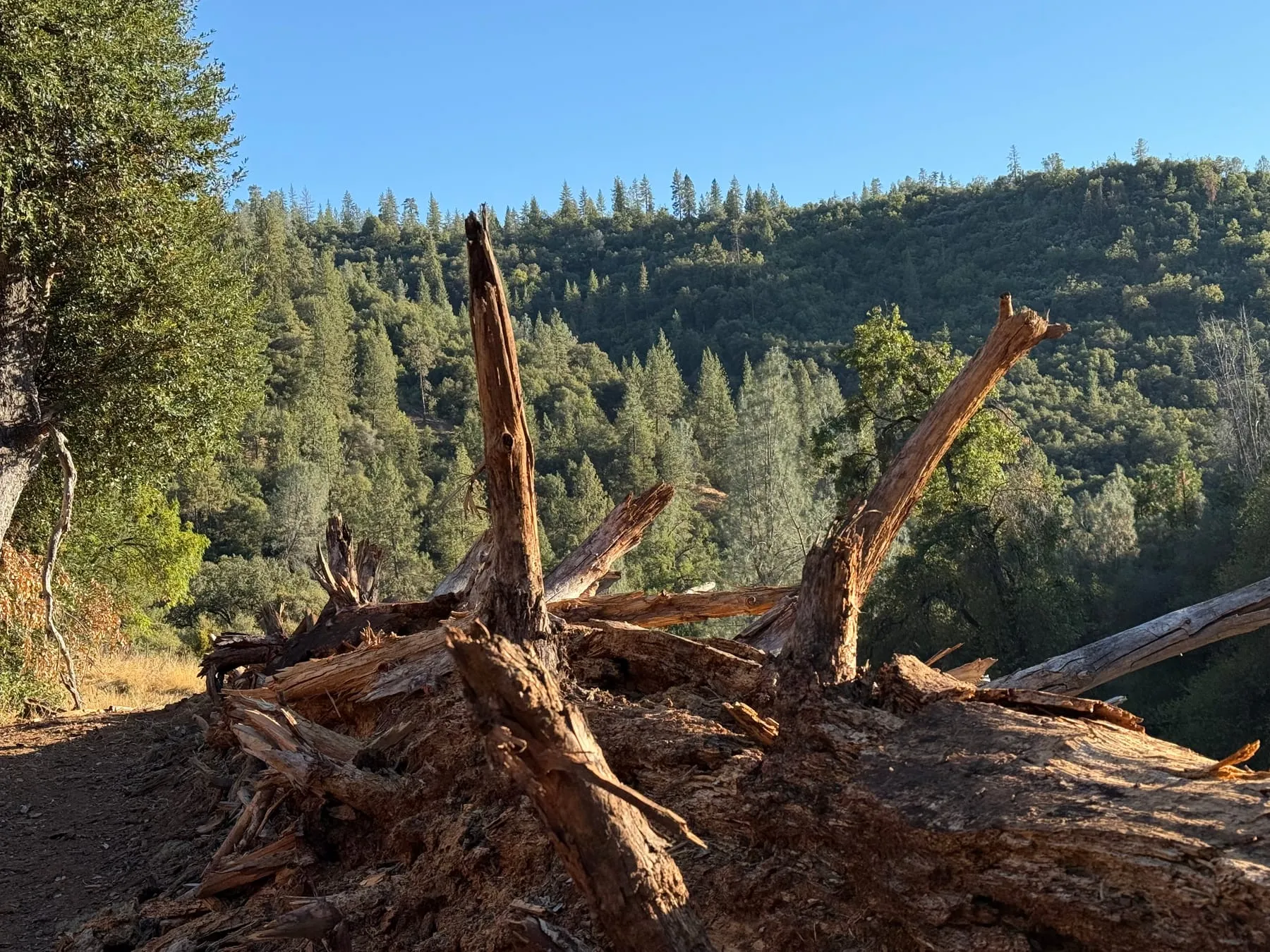 A decaying fallen tree beside a trail above a forested canyon in fall.
Bring a camera-trap model, a drone payload or LiDAR method, a fuel-reduction treatment, or a question about valley oaks, springs and meadows along a seasonal creek. Tell us what you'd like to try.