Research theme

AI-powered land monitoring

Remote sensing with modern computer vision and AI-controlled active sampling can track and understand the plants, wildlife, weather, and humans interacting with a place.

Perception and inventory are the base layer for AI-based land management. The starting point is AI-managed remote sensing, security cameras, multispectral drone surveys and satellite baselines.

Property-scale inventories of wildlife, vegetation and fuels, and open datasets of Sierra foothill wildlife and vegetation will enable deeper management and research. There are also important near-term uses of AI-enabled sensing. Using modern AI models and AI coding we deploy prototype systems for direct validation of ideas.

Projects

All projects
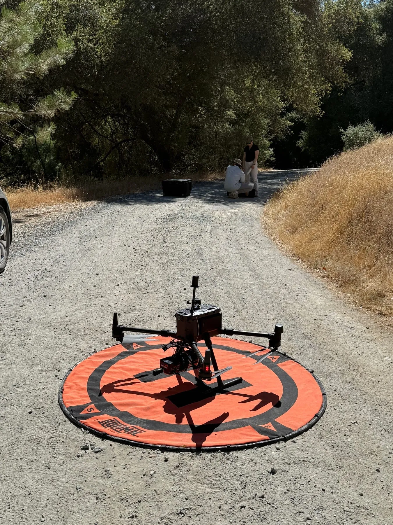
A quadcopter drone sits on an orange landing pad on a gravel ranch road beside dry grass, with two people beside an equipment case farther down the road.

Active Underway

Digital twins of landscapes for active management

Living, measured models of DeepForest's sites, built from drone photos and 3D models, LiDAR, satellite time series, AI-managed remote sensing and dated field records, and kept for years so active management (thinning, fuel breaks, biochar, seeding and grazing) can be planned, tested and tracked: where the work was done, how the land responds, and the carbon it holds, as estimates.

San Domingo · Woodland Hilltop — Generational continuity & open datasets, Agentic land stewardship, AI-powered land monitoring
Active Underway

AI-managed remote sensing

Remote cameras at San Domingo Arbory that upload images on their own, day and night (infrared after dark), and AI processing of drone footage and smartphone photos from the field: part of a broader effort to use computer vision models and AI agents to understand sensor data and images from the sites, feeding our digital twins.

San Domingo — AI-powered land monitoring, Monitoring biodiversity

Field journal

All 9 entries
  • Video

    · San Domingo

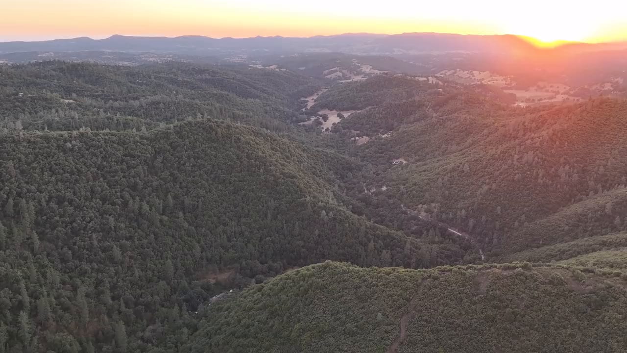
    Sunset flight over the creek canyon

    A slow drone pass at sunset over the canyon of San Domingo Creek, late in the dry season: the meadows in the valley have gone gold, while…

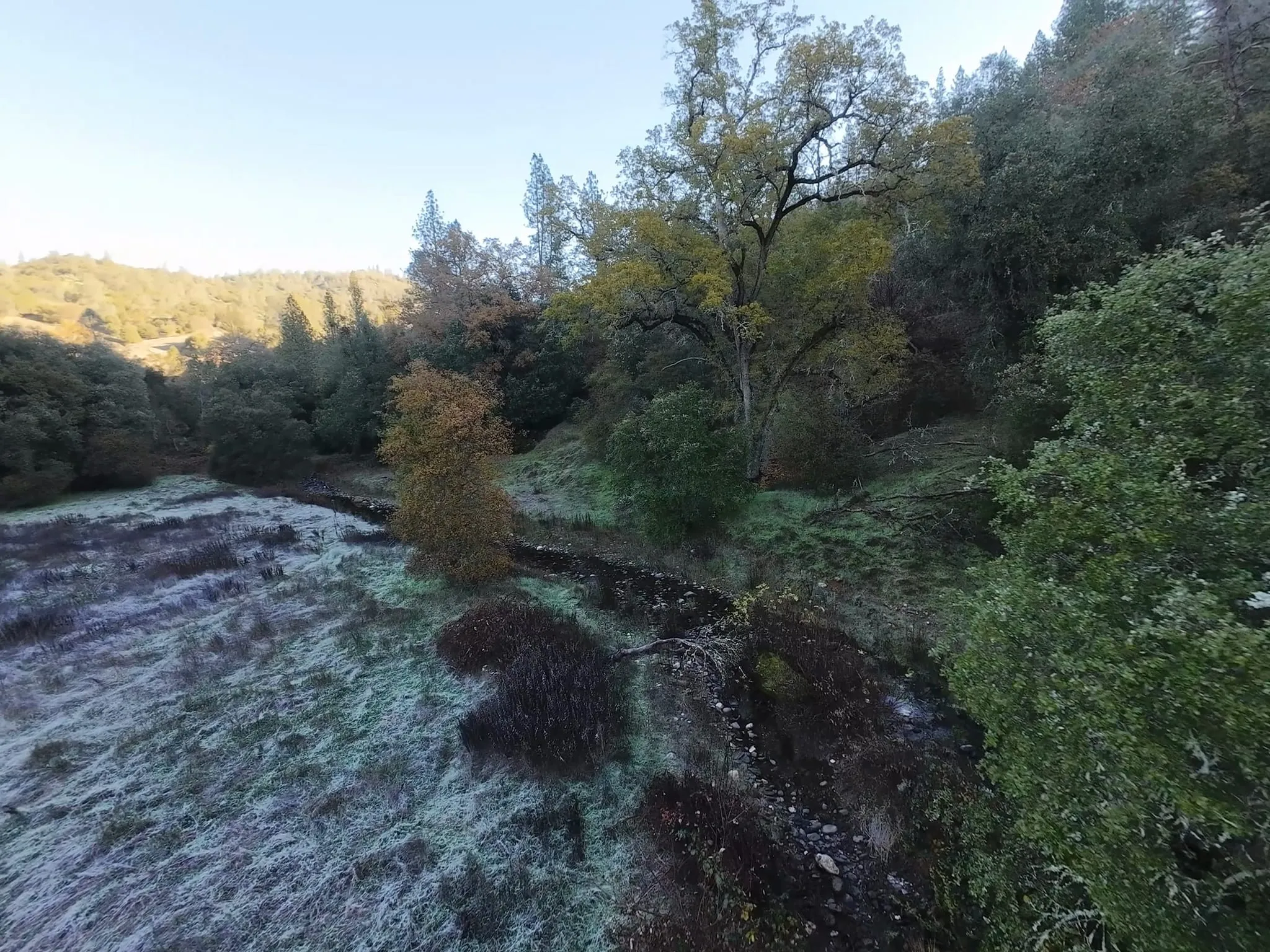
  • Low aerial view of a frost-whitened meadow beside a narrow, stony creek channel, with a large tree holding yellow leaves and dense green woodland behind under a pale morning sky. +1 photo

    · San Domingo

    Frost on the creek meadow

    Frost still lay on the meadow along San Domingo Creek on the morning of December 13, 2025, when we flew a drone low along the creek at San…

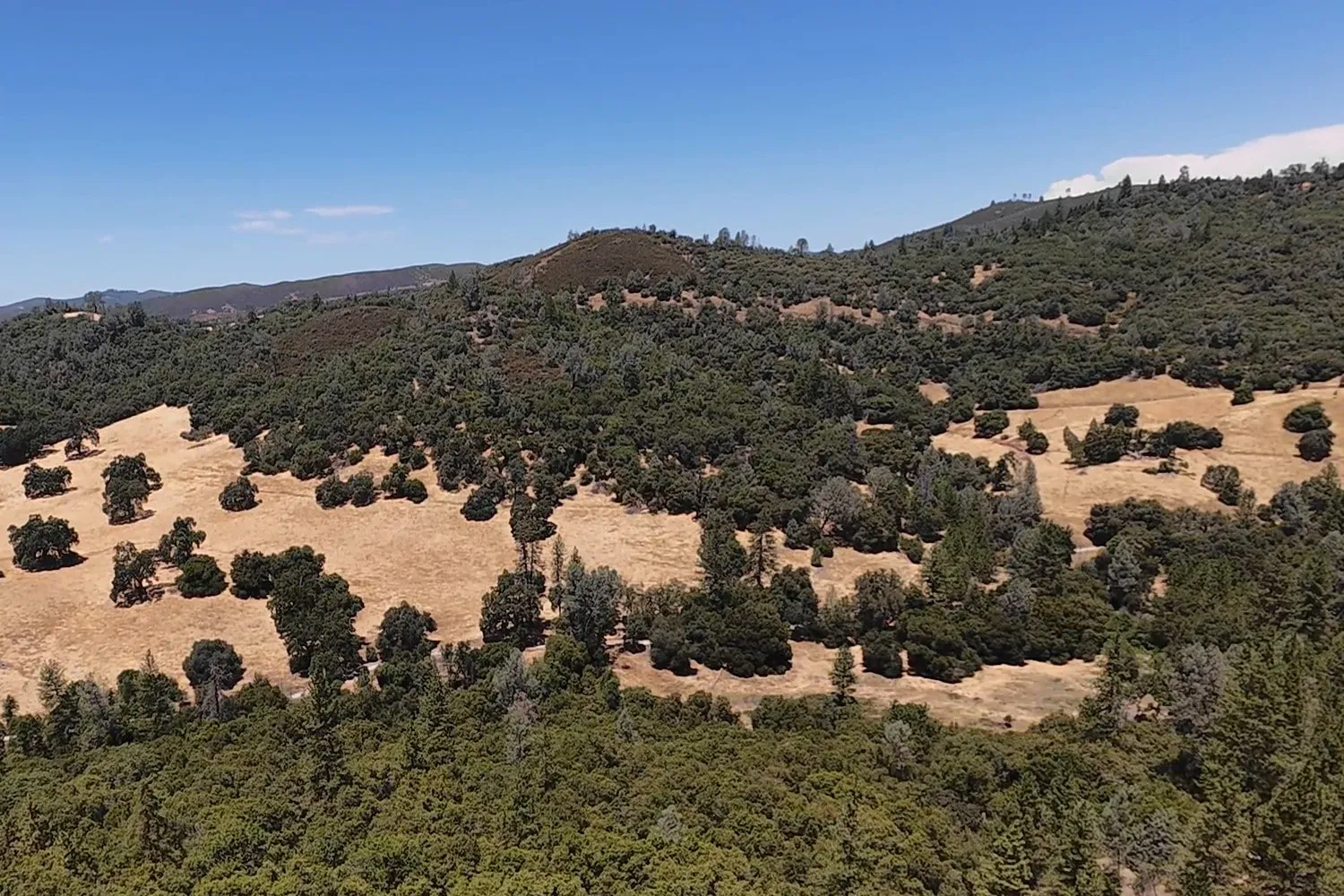
  • Aerial view over dense green oak and pine forest toward a hillside of golden dry-grass meadows dotted with dark green oaks, under a clear blue sky.

    · San Domingo

    Gold meadows and green oaks in late July

    We flew a drone over San Domingo Arbory on July 26, 2025, in the middle of the dry season. The grass in the meadows on the far slope had…

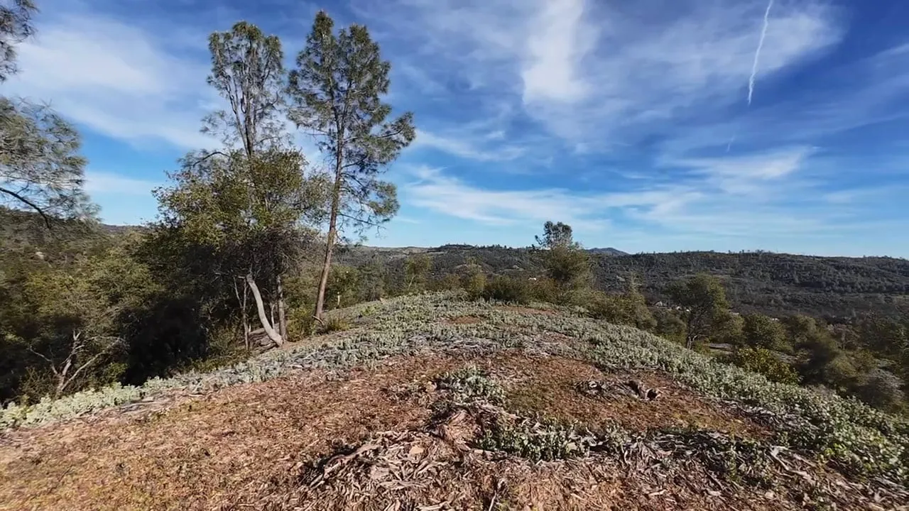
  • Seen from a drone flying low over a hilltop, two tall pines and an oak stand at the edge of a slope of wood-chip mulch and low gray-green plants, with wooded ridges and wispy clouds beyond. +1 photo

    · Woodland Hilltop

    A low drone pass over the mulched hilltop

    On the afternoon of March 23, 2025, we flew a small drone low over the top of Woodland Hilltop Arbory, skimming the masticated ground.…

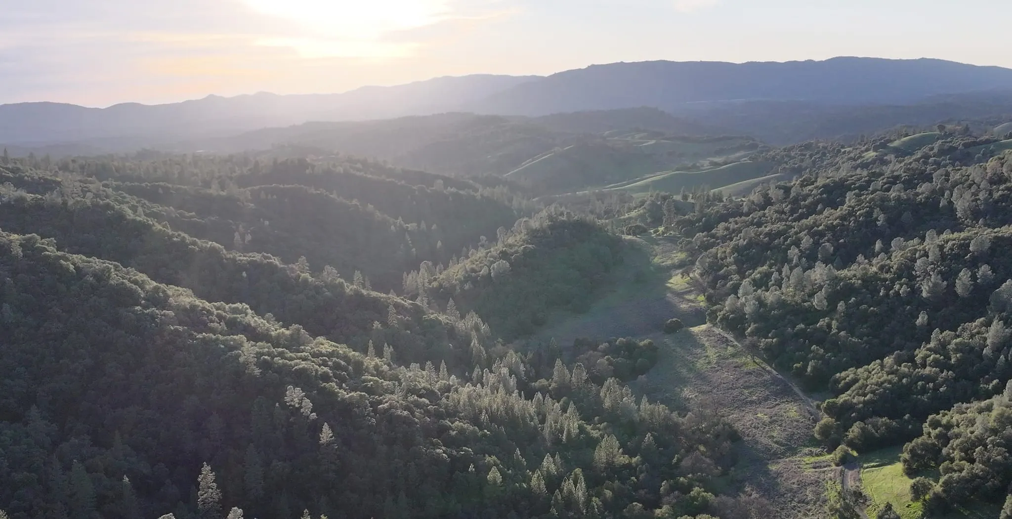
  • Aerial view on an evening looking down a wooded valley toward hazy ridges and a low sun, with backlit pines along the slopes and a narrow green meadow and track on the valley floor. +1 photo

    · San Domingo

    Evening light down the canyon

    Low sun lit up the canyon at San Domingo Arbory on an evening drone flight on February 28, 2025. Looking down the valley, the meadow along…

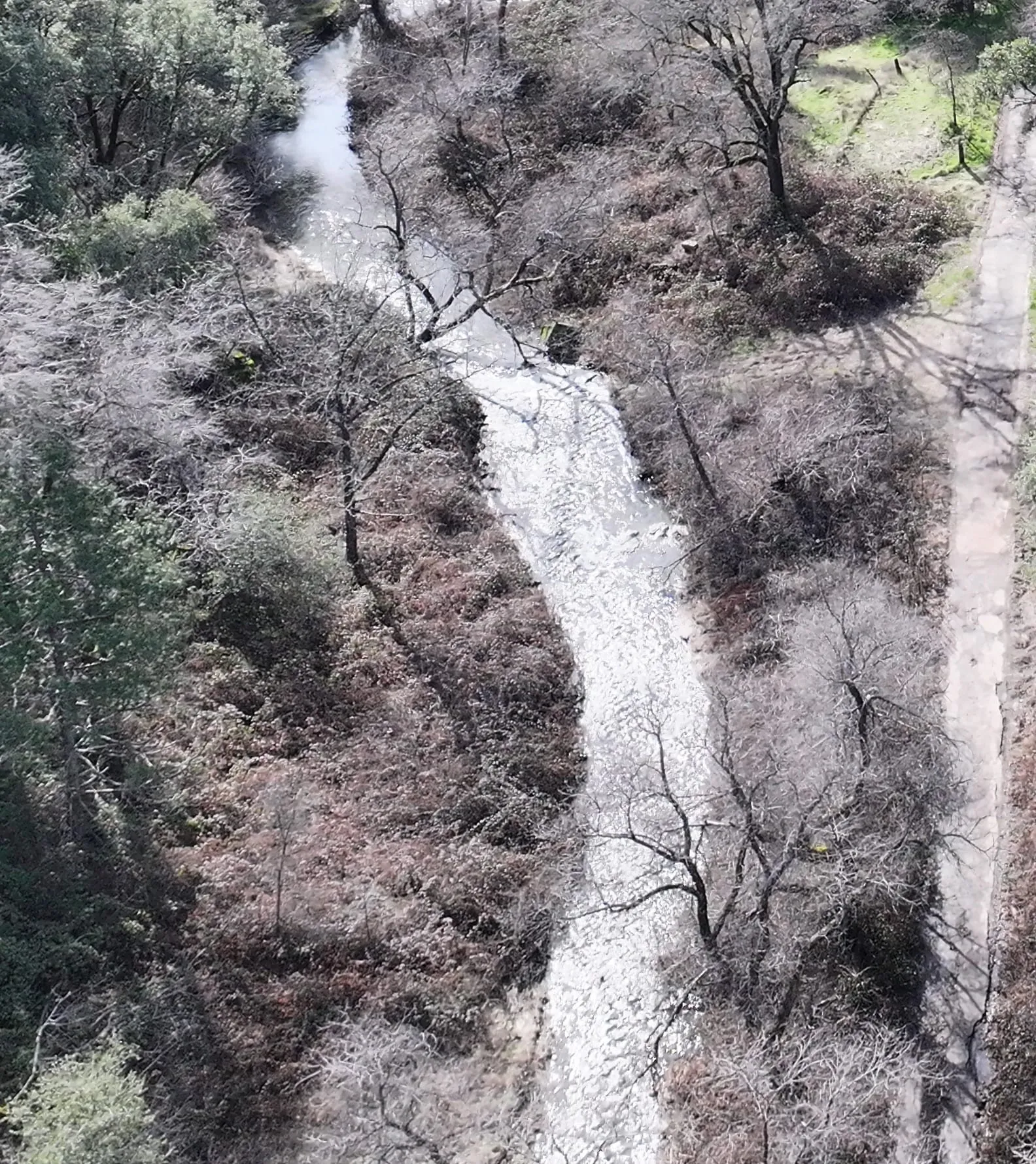
  • Aerial view of a creek running fast and white over rocks between banks of bare, leafless trees and brown brush, with a narrow track along the right edge. +1 photo

    · San Domingo

    San Domingo Creek running in midwinter

    On the afternoon of February 15, 2025, a drone flight at San Domingo Arbory found San Domingo Creek running fast and white over its rocks,…

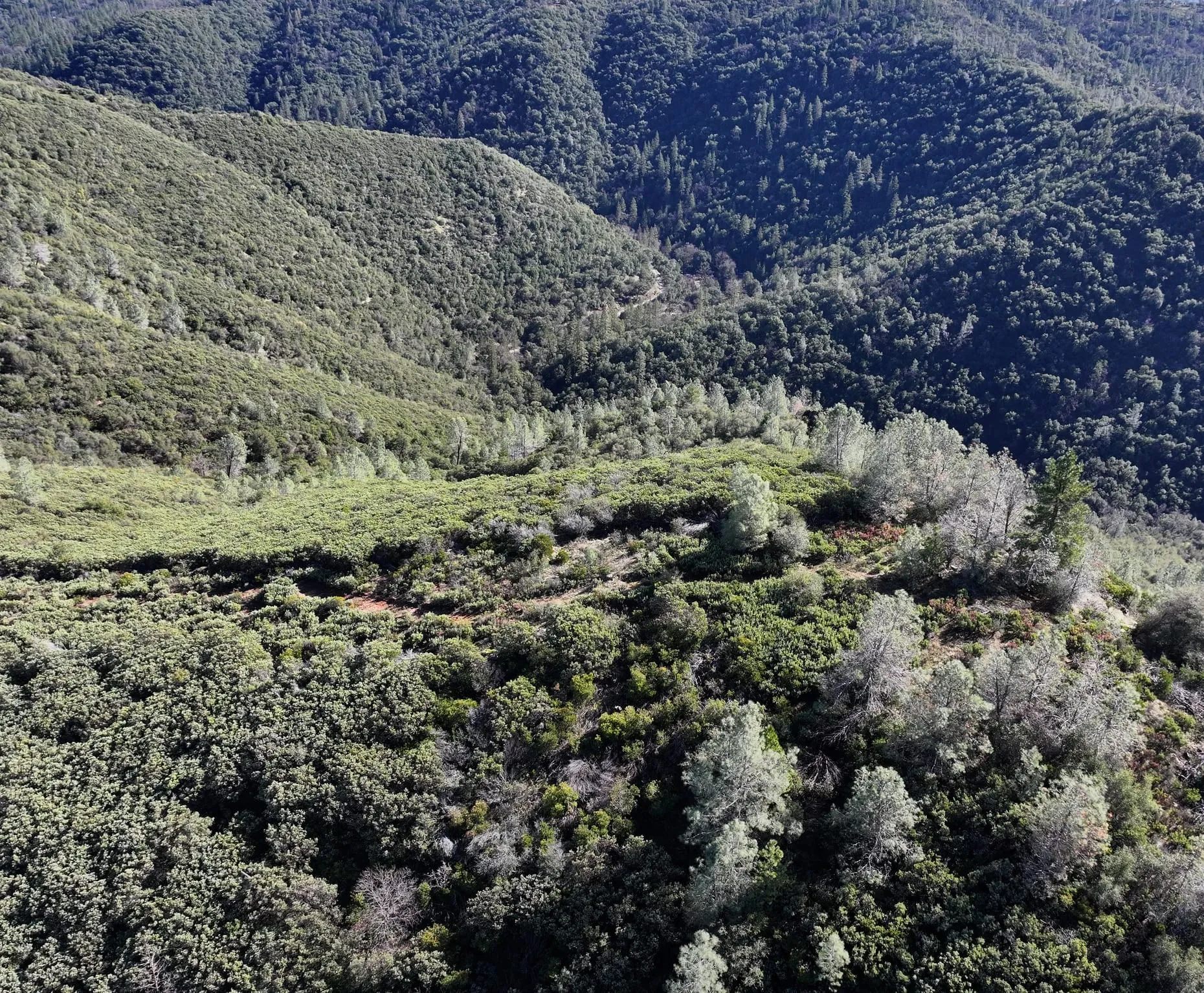
  • Aerial view across a deep canyon: dense, dark evergreen woodland covers the far slope, while pale gray-green pines and low shrubs line a ridge in the foreground. +1 photo

    · San Domingo

    Winter canopy from an early drone flight

    We flew a drone over the steep canyon slopes at San Domingo Arbory on February 8, 2025. From above, the winter canopy sorts itself by…

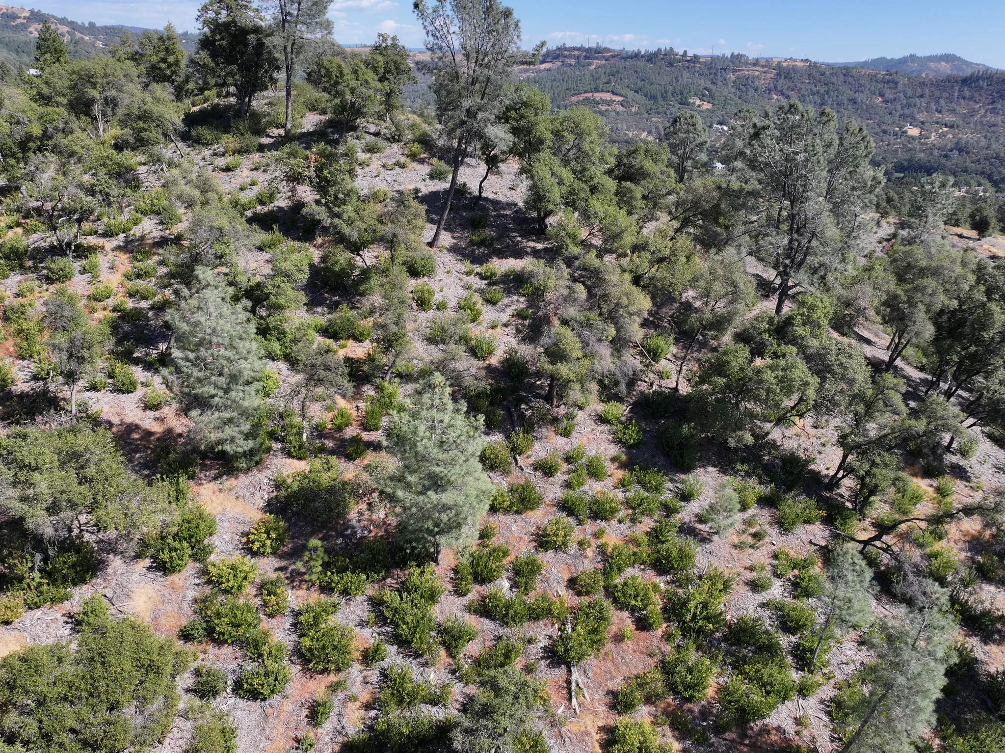
  • Aerial view across a hilltop slope of pale wood-chip mulch and dry grass dotted with small green shrubs, among gray-green pines and darker oaks, with forested hills and a distant ridge beyond. +1 photo

    · Woodland Hilltop

    The hilltop from the air in late summer

    We flew a drone over Woodland Hilltop Arbory on the afternoon of September 22, 2024, at the end of the dry season. From above,…

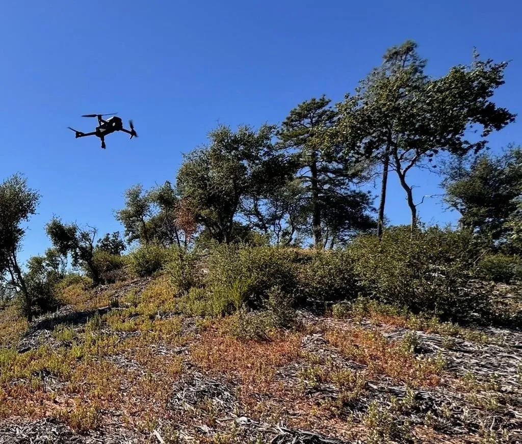
  • A small quadcopter drone hovers in a clear blue sky above oaks and pines at the top of a hill, with low shrubs and wood-chip mulch on the slope below.

    · Woodland Hilltop

    Drone flight over the hilltop

    A drone in the air over Woodland Hilltop Arbory on the afternoon of September 21, hovering above the oaks and pines near the top of the…