
Digital twins of landscapes for active management
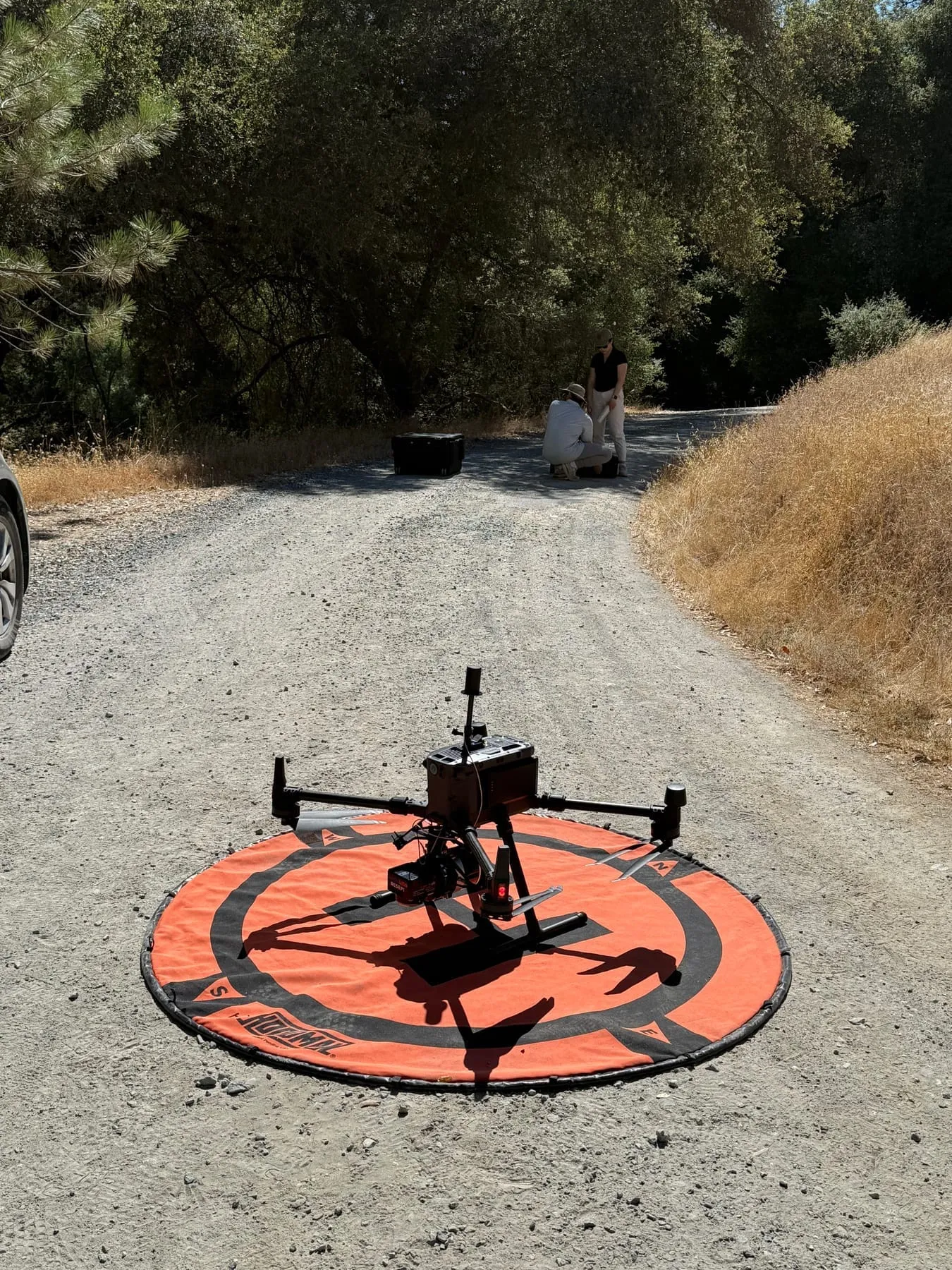
Living, measured models of DeepForest's sites, built from drone photos and 3D models, LiDAR, satellite time series, AI-managed remote sensing and dated field records, and kept for years so active management (thinning, fuel breaks, biochar, seeding and grazing) can be planned, tested and tracked: where the work was done, how the land responds, and the carbon it holds, as estimates.
San Domingo · Woodland Hilltop — Generational continuity & open datasets, Agentic land stewardship, AI-powered land monitoring